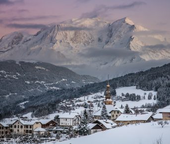
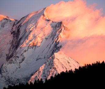
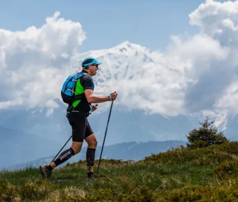

Very nice hike in the Aravis massif to discover one of the most beautiful peaks in Sallanches; route crossing mountain pasture, scree, pass and ridge before reaching the summit where a magnificent view of the Valley and Mont-Blanc awaits you.
Tips and Suggestions
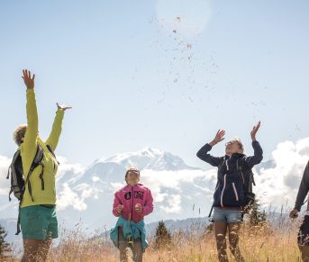
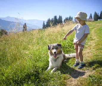
Don't forget your binoculars to observe the local fauna: bearded vultures, ibexes and chamois.
Route details
Alert
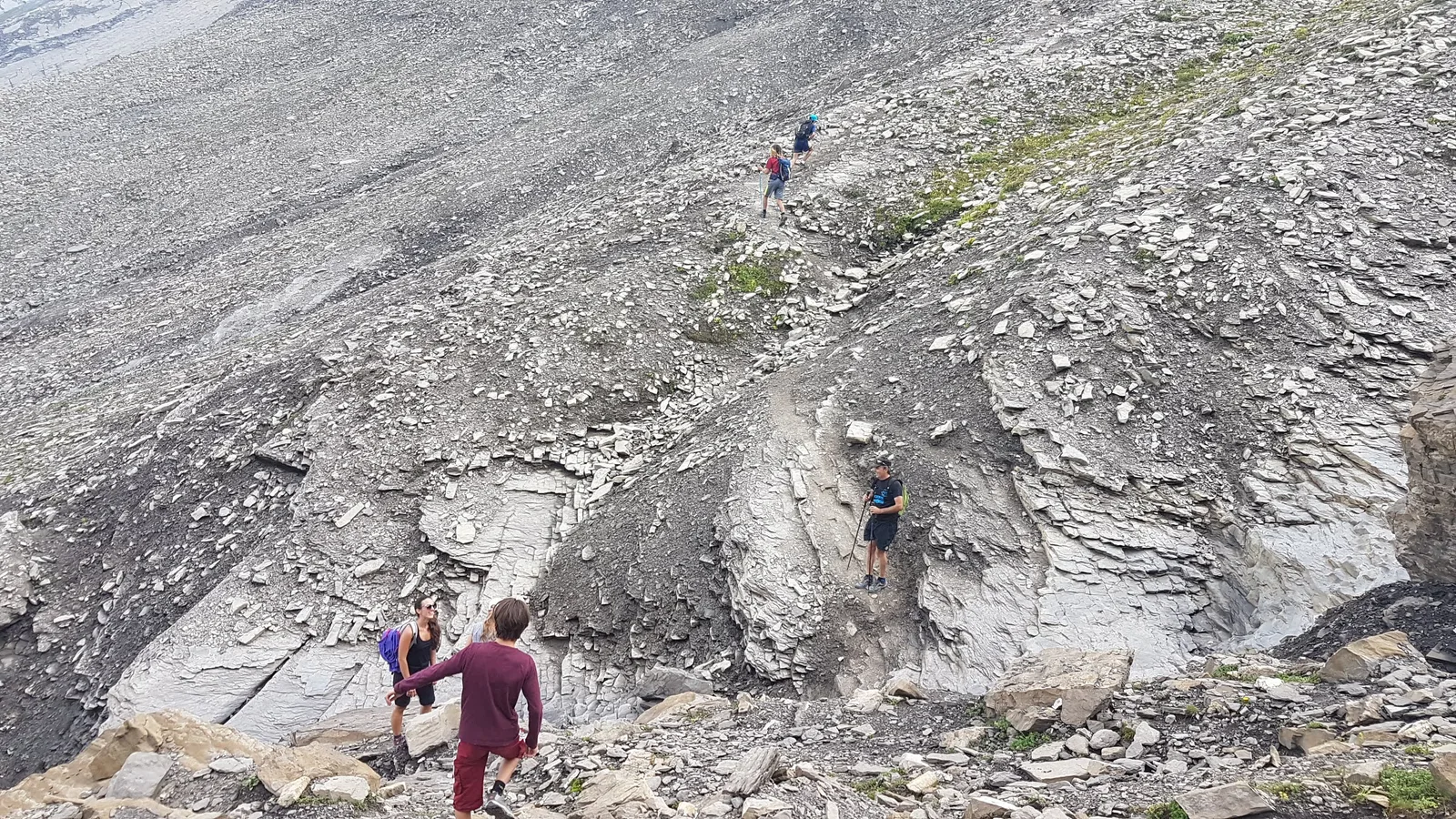
delicate and aerial passages from the Col de Doran
Description
Departure: Burzier car park
1. take the 4x4 path at the entrance to the car park
2. the slope is steep for 200 m (about 15 min)
3. at the crossroads for Mayères / Le Tornieux and Doran, continue straight ahead towards Doran and his refuge
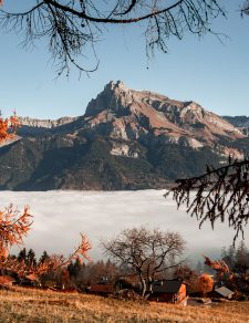
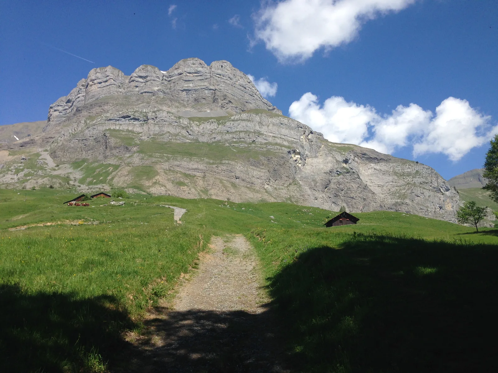
4. this path meanders along the rock walls with the Fiz chain facing you and, further south, the Mont-Blanc massif.
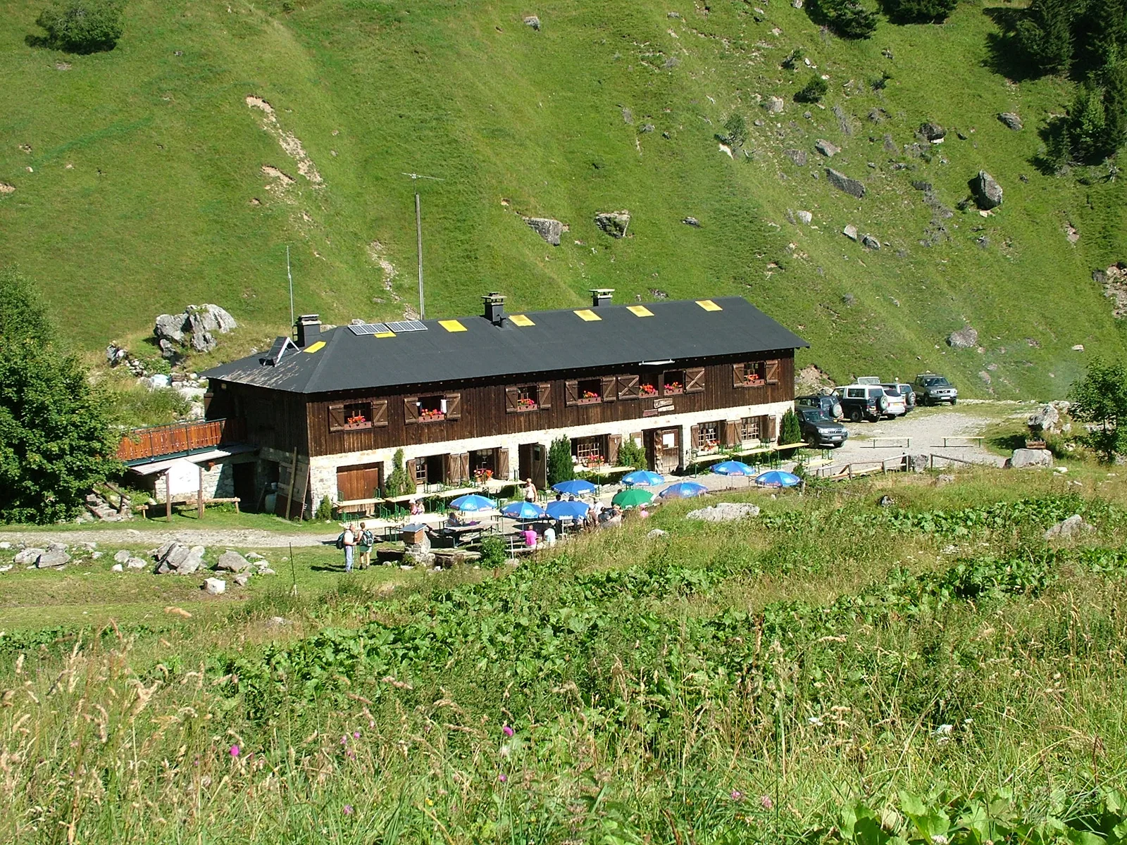
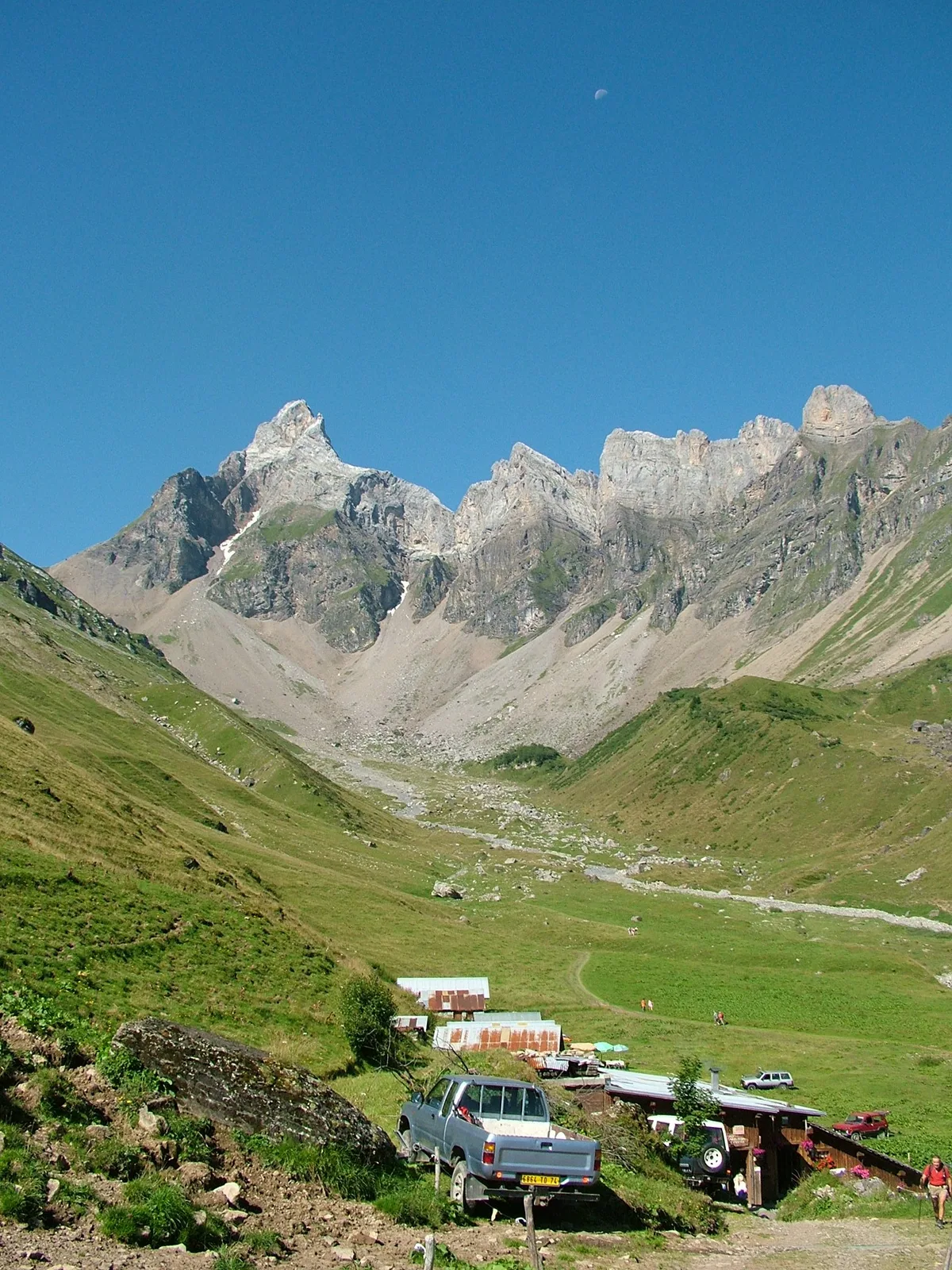
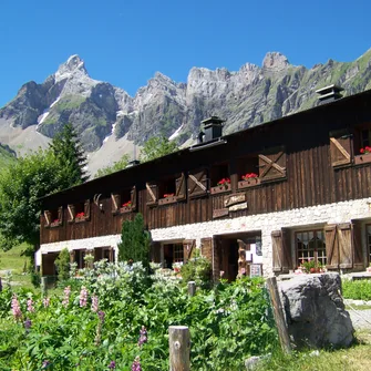
5. after 1 hour of walking you will arrive at the Doran mountain pasture.
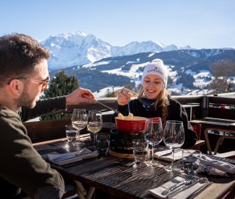
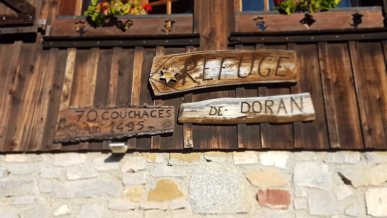
Nestled in the heart of a grandiose mountain circus dominated by Pointe Percée, the highest point of the Aravis, the Doran mountain pasture invites you to discover – from June to September – its ancestral agro-pastoral and cheese-making activity where you can buy cheese fresh, the astonishing story of a chapel built by the scouts, the fauna and flora of the Alps and in particular the astonishing Bearded Vulture, reintroduced here a few years ago. And of course the charming Doran refuge which will welcome you there for a drink, to taste a blueberry tart or even to offer you lodging for the night
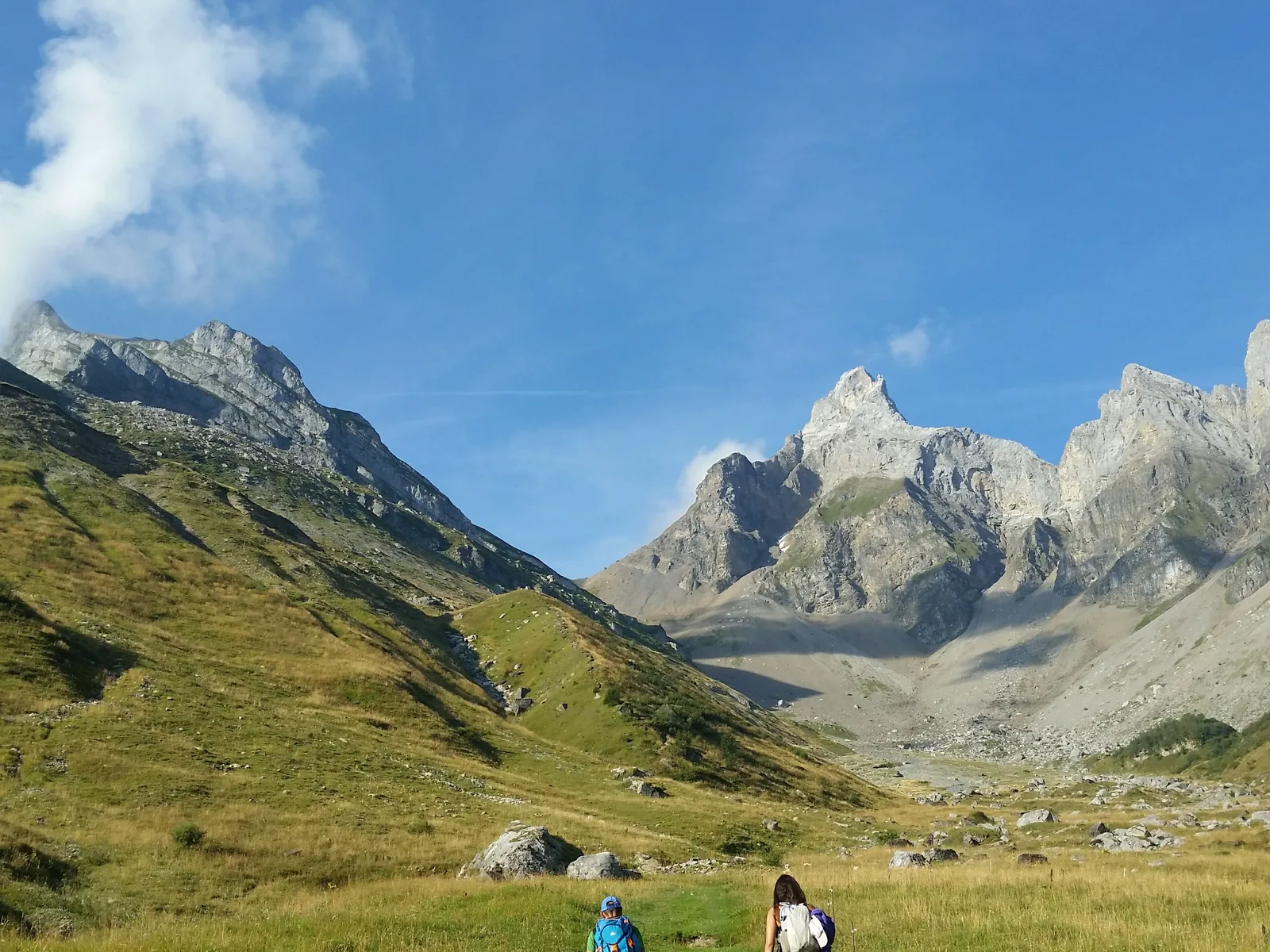
6. the path continues in the direction of Pointe Percée, initially in the grass to slowly give way to rocks.
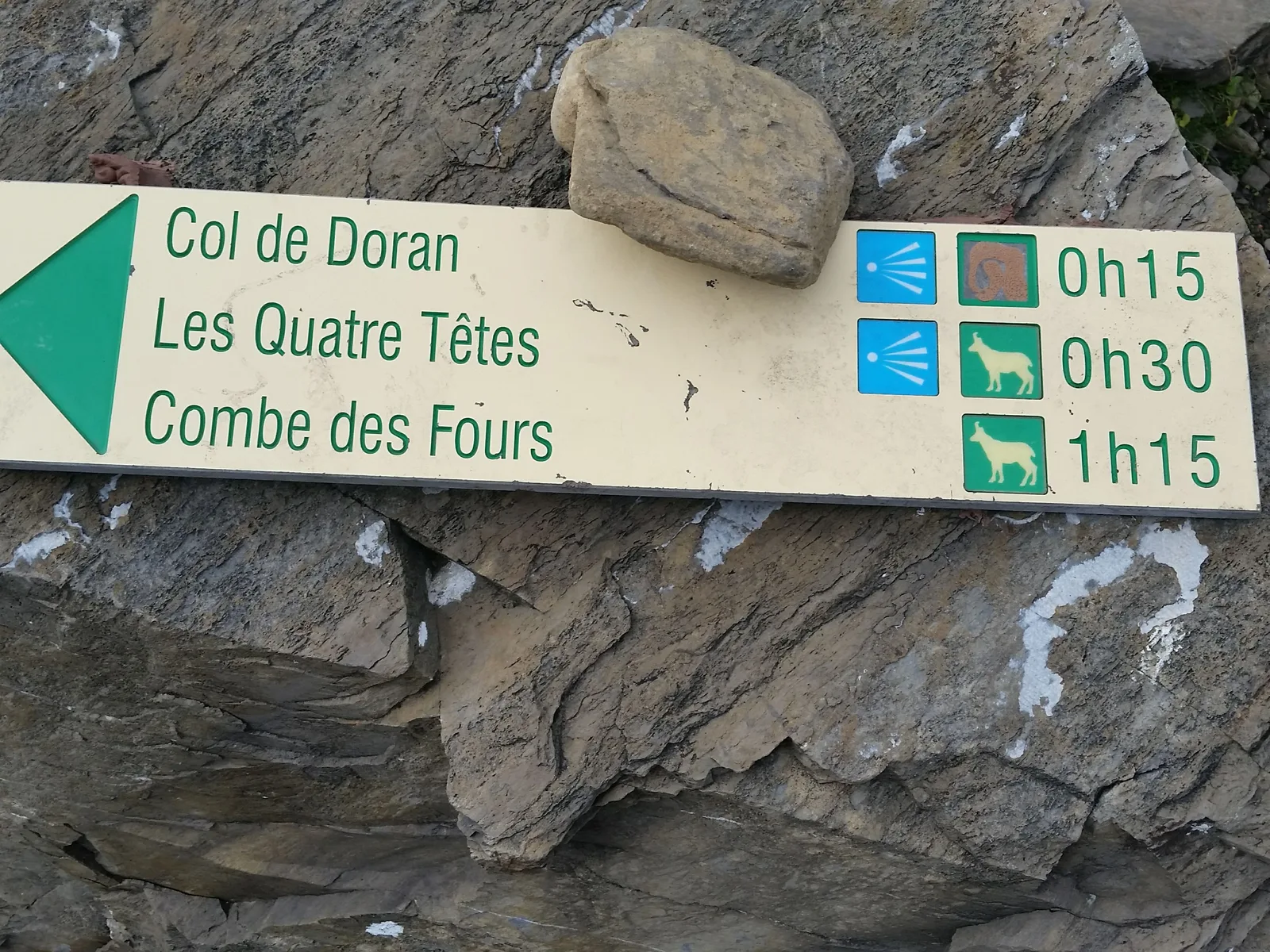
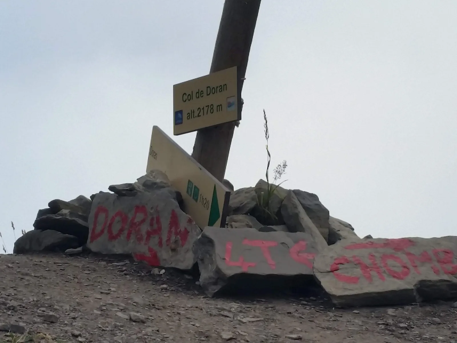
7. it gradually becomes a little steeper to reach the famous Col de Doran at 2178 m; on your right you can admire the Pointe Percée, straight on the path continues towards the Fours and on the left are the Quatre Têtes.
Take out your binoculars here to perhaps see ibexes and chamois.
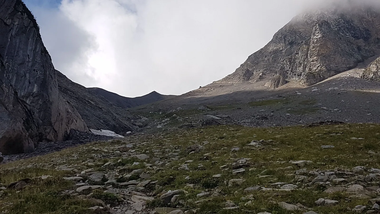
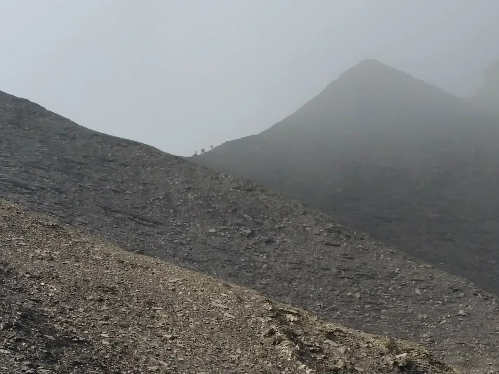
8. the passage is a little aerial from the pass to the summit where the stone slabs seem to tile the mountain! Be careful when the clouds hang over the summits, visibility is uncertain
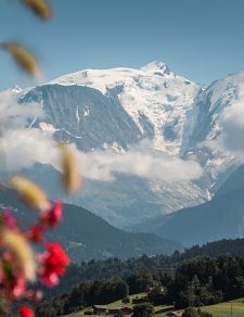
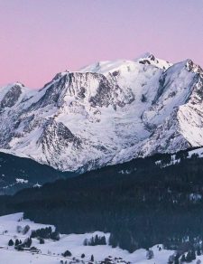
9. the arrival is breathtaking with Mont-Blanc in front of you, the Sallanches valley below and a 360 panorama over all the different massifs.
10. return by the same route
Walking time is approximate and does not include break times.
Hike safely!
This description allows you to orient yourself generally but does not replace a 1/25000 hiking map or other topoguides that you can find in your tourist office! In Sallanches, our Office of Guides & Leaders also offers a wide choice of outings accompanied by mountain professionals providing you with complete expertise on the environment and alpine nature, think about it!
Whatever your hike, check the weather forecast before you go.
Remember to take cereal bars, sufficient water, sunglasses, sunscreen, a small first aid kit, and clothing suitable for your outing depending on the season in your backpack. and the weather forecast.
1. take the 4x4 path at the entrance to the car park
2. the slope is steep for 200 m (about 15 min)
3. at the crossroads for Mayères / Le Tornieux and Doran, continue straight ahead towards Doran and his refuge
4. this path meanders along the rock walls with the Fiz chain facing you and, further south, the Mont-Blanc massif.
5. after 1 hour of walking you will arrive at the Doran mountain pasture.
Nestled in the heart of a grandiose mountain circus dominated by Pointe Percée, the highest point of the Aravis, the Doran mountain pasture invites you to discover – from June to September – its ancestral agro-pastoral and cheese-making activity where you can buy cheese fresh, the astonishing story of a chapel built by the scouts, the fauna and flora of the Alps and in particular the astonishing Bearded Vulture, reintroduced here a few years ago. And of course the charming Doran refuge which will welcome you there for a drink, to taste a blueberry tart or even to offer you lodging for the night
6. the path continues in the direction of Pointe Percée, initially in the grass to slowly give way to rocks.
7. it gradually becomes a little steeper to reach the famous Col de Doran at 2178 m; on your right you can admire the Pointe Percée, straight on the path continues towards the Fours and on the left are the Quatre Têtes.
Take out your binoculars here to perhaps see ibexes and chamois.
8. the passage is a little aerial from the pass to the summit where the stone slabs seem to tile the mountain! Be careful when the clouds hang over the summits, visibility is uncertain
9. the arrival is breathtaking with Mont-Blanc in front of you, the Sallanches valley below and a 360 panorama over all the different massifs.
10. return by the same route
Walking time is approximate and does not include break times.
Hike safely!
This description allows you to orient yourself generally but does not replace a 1/25000 hiking map or other topoguides that you can find in your tourist office! In Sallanches, our Office of Guides & Leaders also offers a wide choice of outings accompanied by mountain professionals providing you with complete expertise on the environment and alpine nature, think about it!
Whatever your hike, check the weather forecast before you go.
Remember to take cereal bars, sufficient water, sunglasses, sunscreen, a small first aid kit, and clothing suitable for your outing depending on the season in your backpack. and the weather forecast.
Linked offers
Refuge