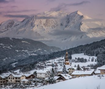

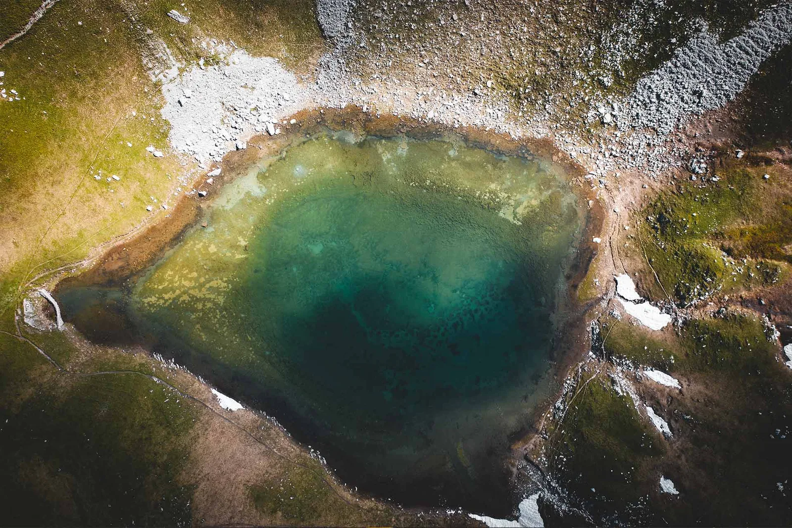
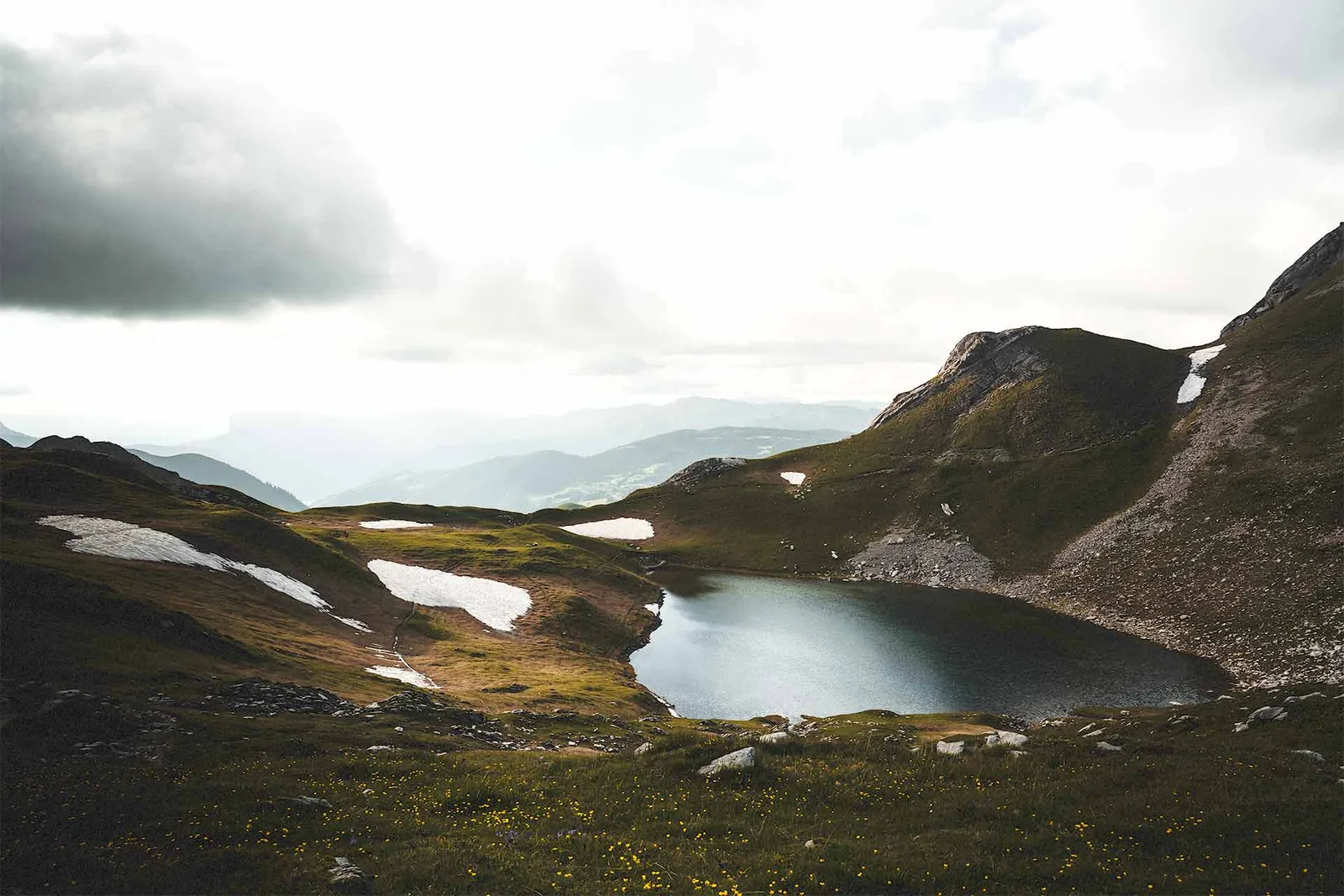
Lac du Charvin, a natural high-altitude lake, located about 2000m above sea level.
This natural lake is located in a magnificent cirque at the foot of Mont Charvin. It is a unique place, which requires protective measures.
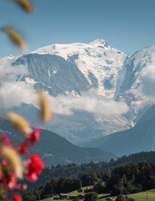
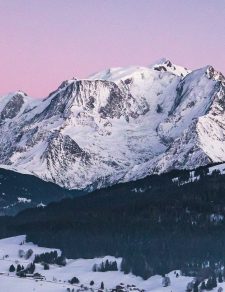
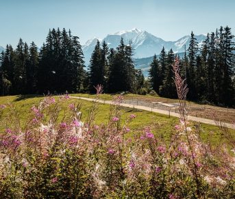
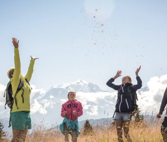
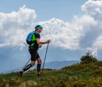
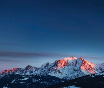
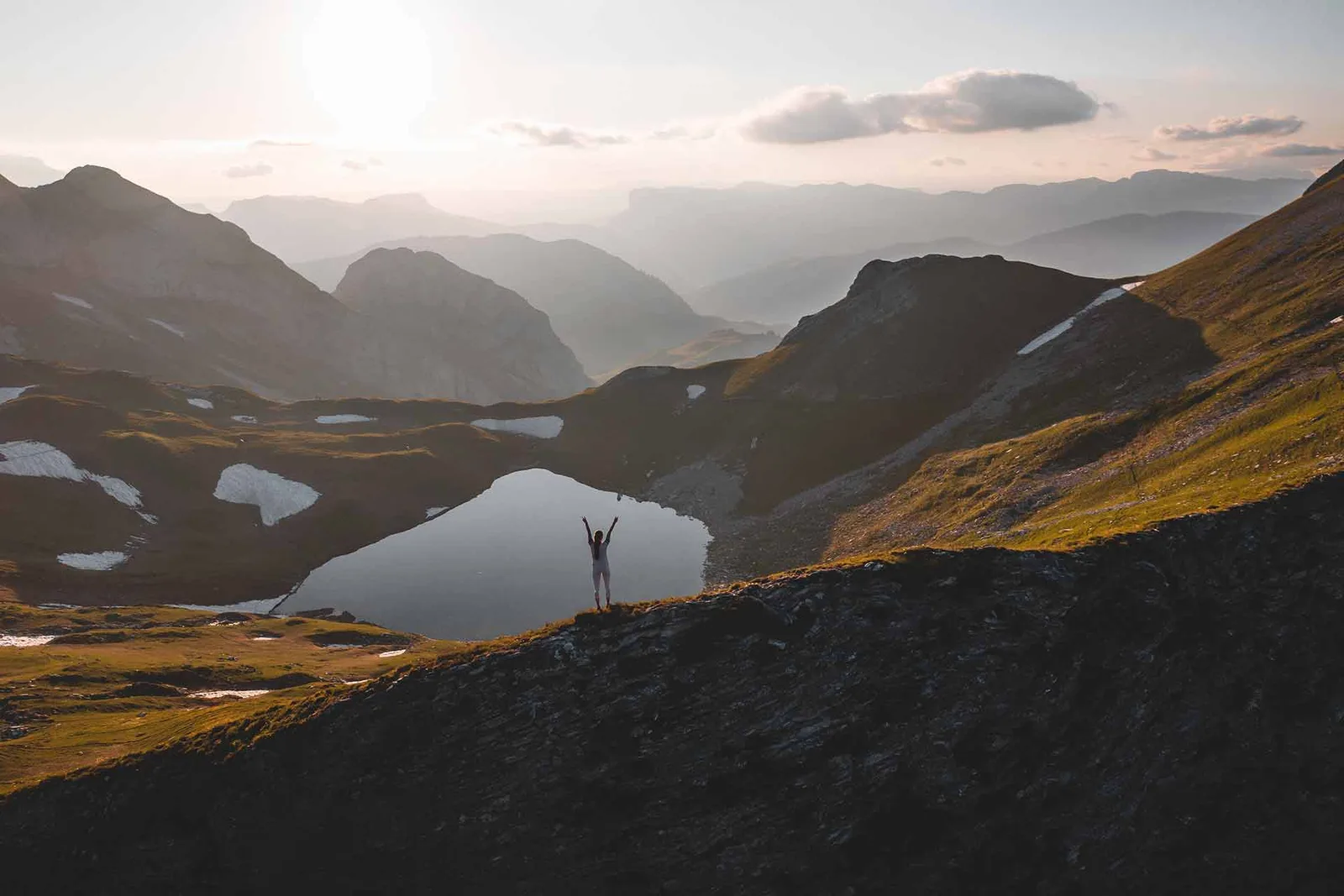
Climb a little further towards the Goenne stop and you will come across a very beautiful view of the Mont Blanc and Beaufortain massifs.
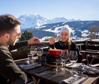
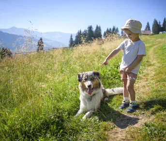
Go meet our alpagists in summer and come back with a good cheese from our mountains. 2 mountain pastures are located on this path:
The Aulp of Fier d’En Haut
The Aulp De Fier d’En Bas
Please respect the parks and fences, making sure to close them behind you.
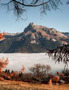
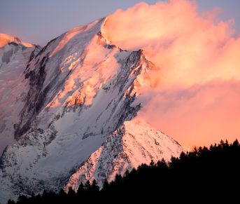
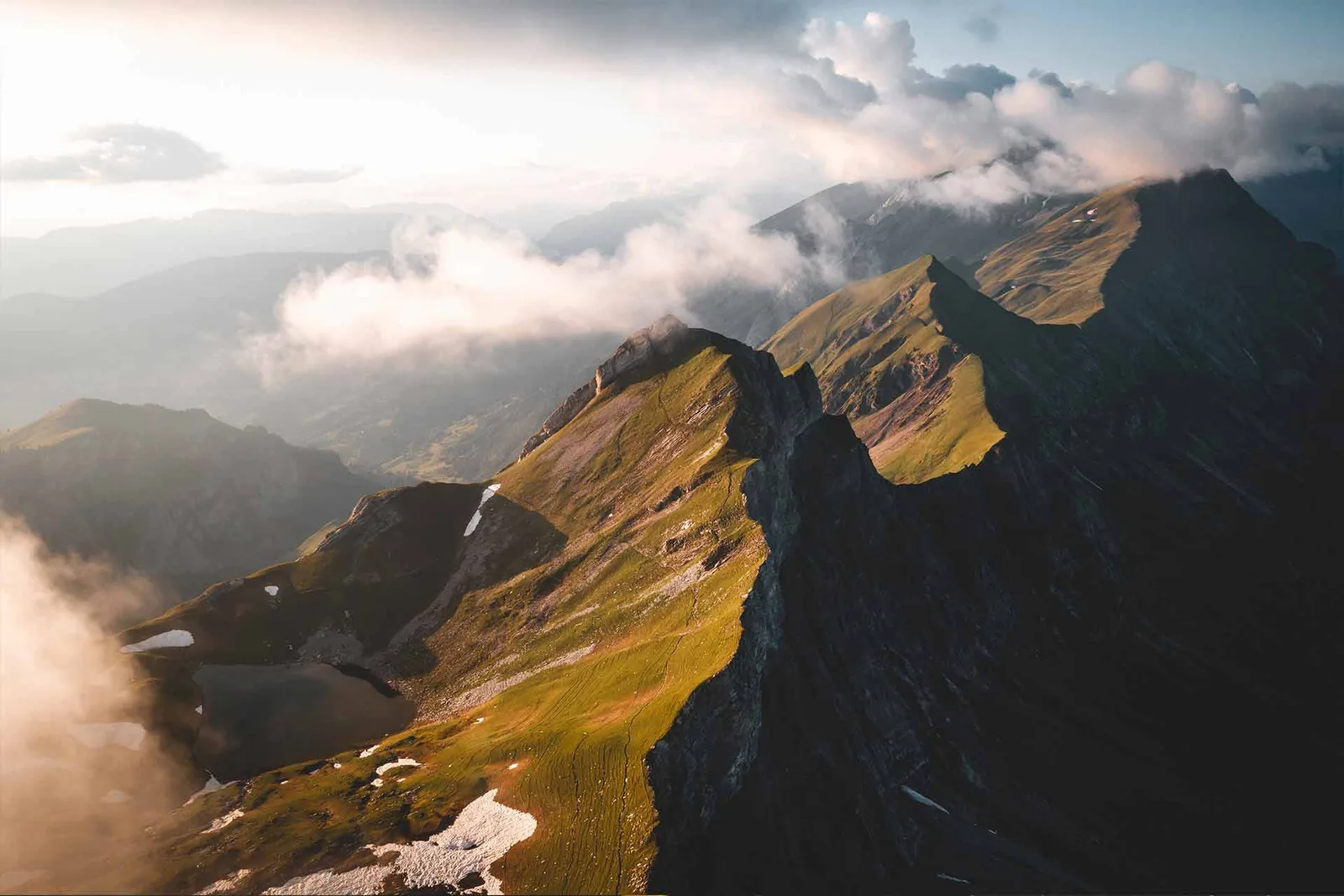
When you arrive at Lake Charvin, we advise you to go to the end of the Aravis chain to have a view of Savoie, which is behind our chain, as well as Mont Blanc.
Starting point :
Park in the Sous l'Aiguille car park, following the hamlet of La Charmette from the village of Manigod.
Duration:
4h30 return
Elevation:
820m
Departure altitude:
1495m
Arrival altitude:
2011m
Map reference:
Tournette-Bornes Aravis
Stroller accessibility:
No
Type of trail:
Earth/stones
Hiking level:
Sports
From 600 to 1 m of elevation gain, 200 to 4 hours of walking: sporty hike
From 300 to 600 m in altitude, 2 to 4 hours of walking: family hike
Markup:
Paint and panel marking.
Climb a little further towards the Goenne stop and you will come across a very beautiful view of the Mont Blanc and Beaufortain massifs.
Go meet our alpagists in summer and come back with a good cheese from our mountains. 2 mountain pastures are located on this path:
The Aulp of Fier d’En Haut
The Aulp De Fier d’En Bas
Please respect the parks and fences, making sure to close them behind you.
When you arrive at Lake Charvin, we advise you to go to the end of the Aravis chain to have a view of Savoie, which is behind our chain, as well as Mont Blanc.
Starting point :
Park in the Sous l'Aiguille car park, following the hamlet of La Charmette from the village of Manigod.
Duration:
4h30 return
Elevation:
820m
Departure altitude:
1495m
Arrival altitude:
2011m
Map reference:
Tournette-Bornes Aravis
Stroller accessibility:
No
Type of trail:
Earth/stones
Hiking level:
Sports
From 600 to 1 m of elevation gain, 200 to 4 hours of walking: sporty hike
From 300 to 600 m in altitude, 2 to 4 hours of walking: family hike
Markup:
Paint and panel marking.
Location details
- Mountain view
Opening
| Opening hours from May 15 to November 30, 2024 | |
|---|---|
| Monday | Open |
| Tuesday | Open |
| Wednesday | Open |
| Thursday | Open |
| Friday | Open |
| Saturday | Open |
| Sunday | Open |
Prices
Services
Equipments