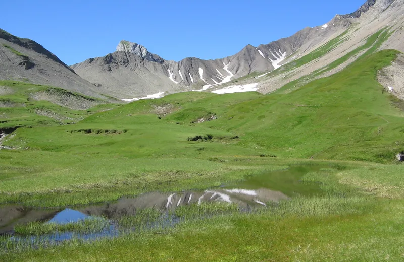
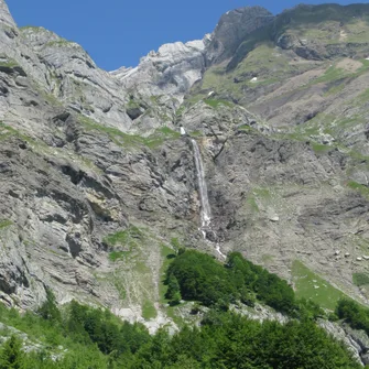
One-day hike, for very good walkers starting from the Cochenet car park - the Pont de la Flée, for a very special atmosphere in the very green valley with the fine alpine meadow...
Tips and Suggestions
For the view, go to the Tête du Gréppon
Route details
Description
Starting point: Cochenet car park (or La Plagne d’en Haut 1024 m) towards Pont de la Flée (1060m) –
Plan a day of hiking
At the Pont de la Flée, continue up a steep climb to reach the Pierre Fendue.
Continue the path to the right, direction Mayère, and cross the bridge spanning the Torrent des Fours. Then leave the Mayère path, taking the path on the left towards Les Fours. The climb becomes steeper, then the path passes at the foot of rocky bars and can impress. It then weaves its way between large boulders where a few chains can help progress.
Arrival at the Combe des Fours, cross the Torrent des Fours and continue the more or less marked path to the Gouille des Fours.
Continue the combe to reach after a short climb the Col de Portette, where you can, with a little luck, admire the bearded vultures.
Start the return via the path under the Col de Portette, and after the steep bends, join the 4×4 path and continue it to the Chalets de Cœur. We reach the Pierre Fendue, the Flée bridge then the Cochenet car park.


