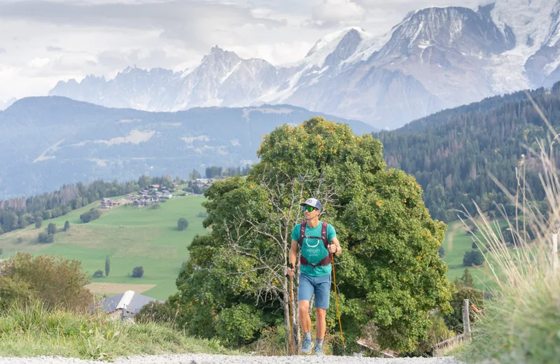
1/ 50m above the Le Coin Savoyard hotel, on the Cry-Cuchet road, turn left and cross the Le Barratti housing estate, take the path with the small wooden bridges to reach Le Champet.
2/ Take Chemin des Poses to reach the hamlet of Ormaret and its chapel.
3/ Back to the chapel go on the left, 50m take the direction of Cuchet (viewpoint, restaurants).
4/ From the Cuchet car park, take the footpath to La Cry (departure next to the restaurant Le Chalet d'Emilie) duration: 1h20
5/ At the Cry two possibilities:
1- Take the free shuttle down to the village (in season only).
2- Continue and cross the La Cry car park to the orientation table, turn left on the Route des Brons until the start of the Mowgli ski lift, then turn right, on the path towards the Balancerie – Center of the village. Duration: 2h30.
Variant: at the Ormaret chapel: with your back to the chapel, go to the right and follow the Côte Pugin path.
At the level of the road of La Cry-Cuchet, 2 possibilities:
1- Take the free shuttle down to the village (in season only).
2- Continue down the road for 150m, in the bend to the left, take the chemin de Mowgli towards Les Brons.
Then descend via the Balancerie path to reach the center of the village. Duration: 1h15.
Route details
Description
“Les Belvédères du Mont-Blanc” hiking map on sale at the Tourist Office: €6


