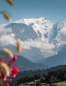


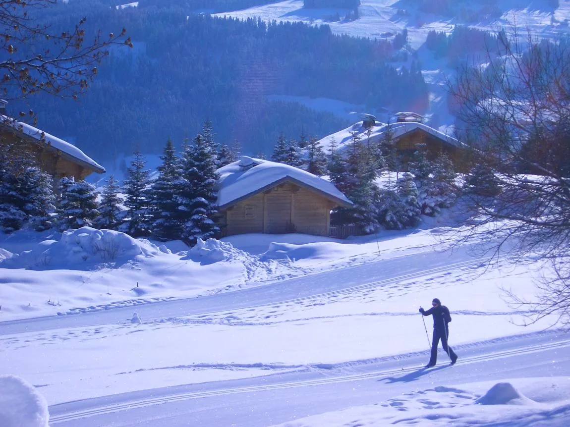
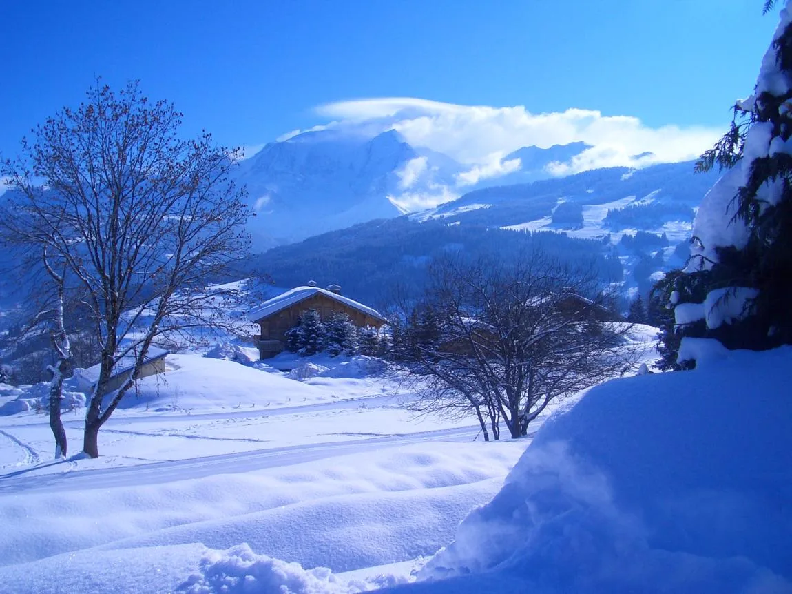
Very pretty routes for skating or alternative skating in the middle of unspoiled nature, facing Mt-Blanc. Enjoy the beauty of the landscapes while skiing and a breathtaking view of the mountain ranges and the Massif du Mt-Blanc.
Route details
Description
Maps of cross-country ski routes available at the ski lift ticket offices.
Starting point: 400m on the left after the Alpen-Valley hotel in La Cry (direction Cuchet)
Duration: 40min
Positive elevation: 21m
Negative drop: 11m
Starting altitude: 1219m
Arrival altitude: 1233m
Type of trail: Alternative route and skating.
Level: green
Marking: panel with cross-country skier
Difficulty: easy
Relief:
112 or +33(0)6 63 34 60 78 (first aid trackers)
In the event of an accident, give the alert to the rescuers or the nearest ski lift. Do not forget to indicate the name of the track and the nearest beacon.
Reminders: there is a charge for rescue.
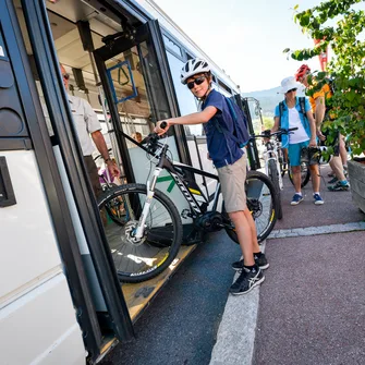
Free skibus from the center of Combloux to the La Cry car park. Rotations every 15 minutes.
Pedestrians can take the trails while staying outside the cross-country ski trails.
Loops are open depending on snow conditions.
Slopes groomed and maintained by the Portes du Mont-Blanc ski area depending on snow conditions.
Useful information :
– The practice of cross-country skiing on the ski area is only authorized on the routes provided for this purpose.
– Have the right equipment
– You are responsible for your safety and that of others.
– Respect the nature and the tranquility of the place
– Never go alone and inform those around you of your itinerary.
– Adapt your itinerary to your physical abilities, weather conditions and the time you have available
– Before leaving, find out about the avalanche risk
You have the possibility to rent equipment from ski rental shops and to be accompanied by the ski schools present in the Portes du Mont-Blanc ski area
Starting point: 400m on the left after the Alpen-Valley hotel in La Cry (direction Cuchet)
Duration: 40min
Positive elevation: 21m
Negative drop: 11m
Starting altitude: 1219m
Arrival altitude: 1233m
Type of trail: Alternative route and skating.
Level: green
Marking: panel with cross-country skier
Difficulty: easy
Relief:
112 or +33(0)6 63 34 60 78 (first aid trackers)
In the event of an accident, give the alert to the rescuers or the nearest ski lift. Do not forget to indicate the name of the track and the nearest beacon.
Reminders: there is a charge for rescue.
Free skibus from the center of Combloux to the La Cry car park. Rotations every 15 minutes.
Pedestrians can take the trails while staying outside the cross-country ski trails.
Loops are open depending on snow conditions.
Slopes groomed and maintained by the Portes du Mont-Blanc ski area depending on snow conditions.
Useful information :
– The practice of cross-country skiing on the ski area is only authorized on the routes provided for this purpose.
– Have the right equipment
– You are responsible for your safety and that of others.
– Respect the nature and the tranquility of the place
– Never go alone and inform those around you of your itinerary.
– Adapt your itinerary to your physical abilities, weather conditions and the time you have available
– Before leaving, find out about the avalanche risk
You have the possibility to rent equipment from ski rental shops and to be accompanied by the ski schools present in the Portes du Mont-Blanc ski area
Linked offers