

Voie d'escalade du Passet du haut
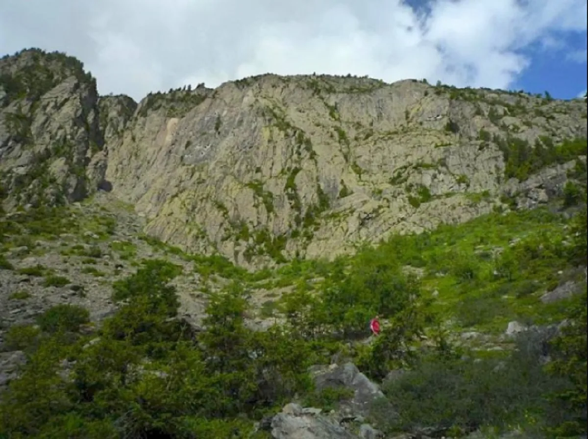
Beautiful slabs, well equipped overall.
Massif: Aiguilles Rouges
Altitude: 1500 meters
Orientation: south
Approach time: 45 minutes
Favorable period: from April to November
Rock: gneiss
Number of routes: 7
Maximum track height: 70 m
Level of practice: confirmed (grades from 5c to 6c+)
Altitude: 1500 meters
Orientation: south
Approach time: 45 minutes
Favorable period: from April to November
Rock: gneiss
Number of routes: 7
Maximum track height: 70 m
Level of practice: confirmed (grades from 5c to 6c+)
Location details
IGN 3630 OT map.
20 km north-northeast of Chamonix, 1 km south of the Emosson dam.
Between Vallorcine and Switzerland, park in the hamlet of Barberine. Then go up the Col du Passet path, pass the waterfalls and leave the path near the walls.
20 km north-northeast of Chamonix, 1 km south of the Emosson dam.
Between Vallorcine and Switzerland, park in the hamlet of Barberine. Then go up the Col du Passet path, pass the waterfalls and leave the path near the walls.
Opening
| Opening hours from June 01 to October 31, 2024 | |
|---|---|
| Monday | Open |
| Tuesday | Open |
| Wednesday | Open |
| Thursday | Open |
| Friday | Open |
| Saturday | Open |
| Sunday | Open |
Prices
Services
Activities on site
- Climbing sports / Rope sports
- Climbing site