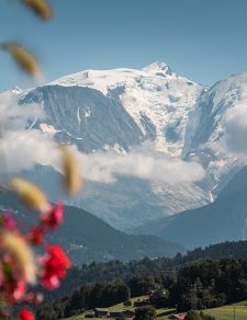

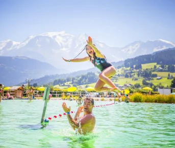
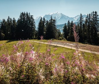
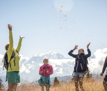


Décollage de Varan
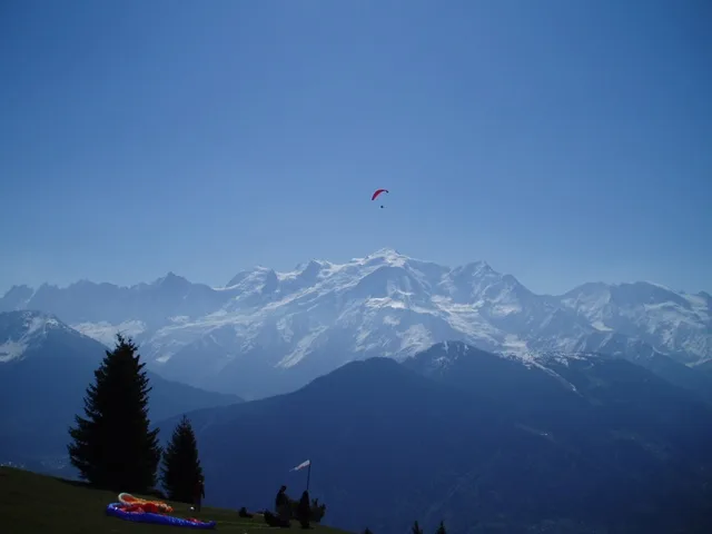
Take-off area in the mountains in a grandiose setting.
GPS coordinates: N 45° 56'42'' – E 006° 40' 55''
Orientation: southwest to southeast
Elevation: from 1080 to 1360 m
Layout: windsock and FFVL information panel on official decoration of Pebu, Alt. 1640 m
Flight conditions: calm in the morning, strong thermals in the afternoon
Danger/difficulties: cliff at the end of take-off
Level: supervised beginner to cross
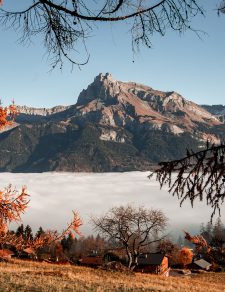
Landings: Passy-Chedde and Passy-Marlioz. Possible variant: Lac de Passy, on the left on the road to Domancy, at the intersection with the equestrian farm road.
Specific regulations: use a 4×4, be sure to respect walkers.
Possible variant: Frioland, hiking flight with take-off at 1700 m
Orientation: southwest to southeast
Elevation: from 1080 to 1360 m
Layout: windsock and FFVL information panel on official decoration of Pebu, Alt. 1640 m
Flight conditions: calm in the morning, strong thermals in the afternoon
Danger/difficulties: cliff at the end of take-off
Level: supervised beginner to cross
Landings: Passy-Chedde and Passy-Marlioz. Possible variant: Lac de Passy, on the left on the road to Domancy, at the intersection with the equestrian farm road.
Specific regulations: use a 4×4, be sure to respect walkers.
Possible variant: Frioland, hiking flight with take-off at 1700 m
Tips and Suggestions
Discover the Varan refuge 2 steps away.
Location details
Access: hamlet of Bay on the Plateau d'Assy road, go to the Coudray car park, then a good hour's walk by path or climb in a 4×4.
- In the mountains
- Isolated
- GR route within 1 km
Opening
| Opening hours from May 01 to October 31, 2024 | |
|---|---|
| Monday | Open |
| Tuesday | Open |
| Wednesday | Open |
| Thursday | Open |
| Friday | Open |
| Saturday | Open |
| Sunday | Open |
Prices
Services
Equipments
Services
Activities on site
- Air Sports
- Take-off and landing site