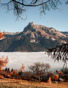
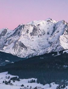
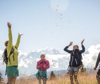
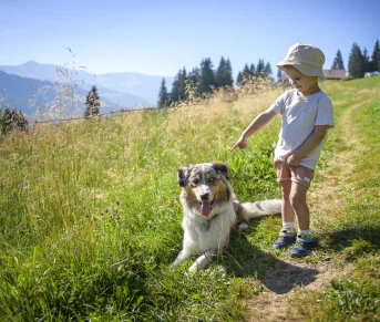

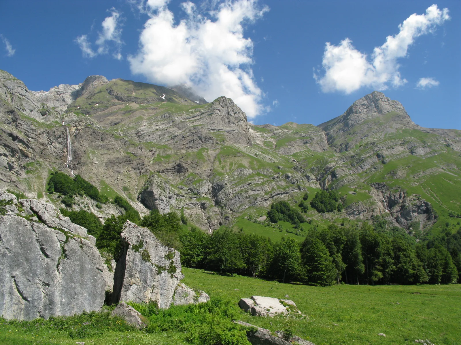
Beautiful hike allowing you to discover this unusual block of stone fallen in the middle of the mountain pastures of Coeur, in the Aravis massif. Route sparse with streams, torrents and waterfalls. Crossing point for many other hikes.
Tips and Suggestions
You can see chamois and ibexes through binoculars.
Route details
Description
Departure: Lintre car park – Phiterne
1. take the carriageway in front of the car park
2. this path climbs slightly in the undergrowth
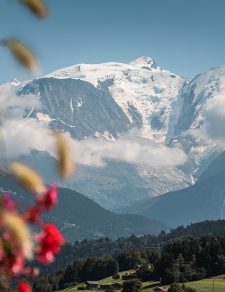
3. at the fork, take the path on the left which is almost flat with a beautiful panorama of the Aravis, but also behind the Mont-Blanc Massif.
4. continue straight ahead, the path passes a little through the forest and crosses a first small bridge, the Pont de Bellecombe, with a small stream which is very refreshing at the end of winter.
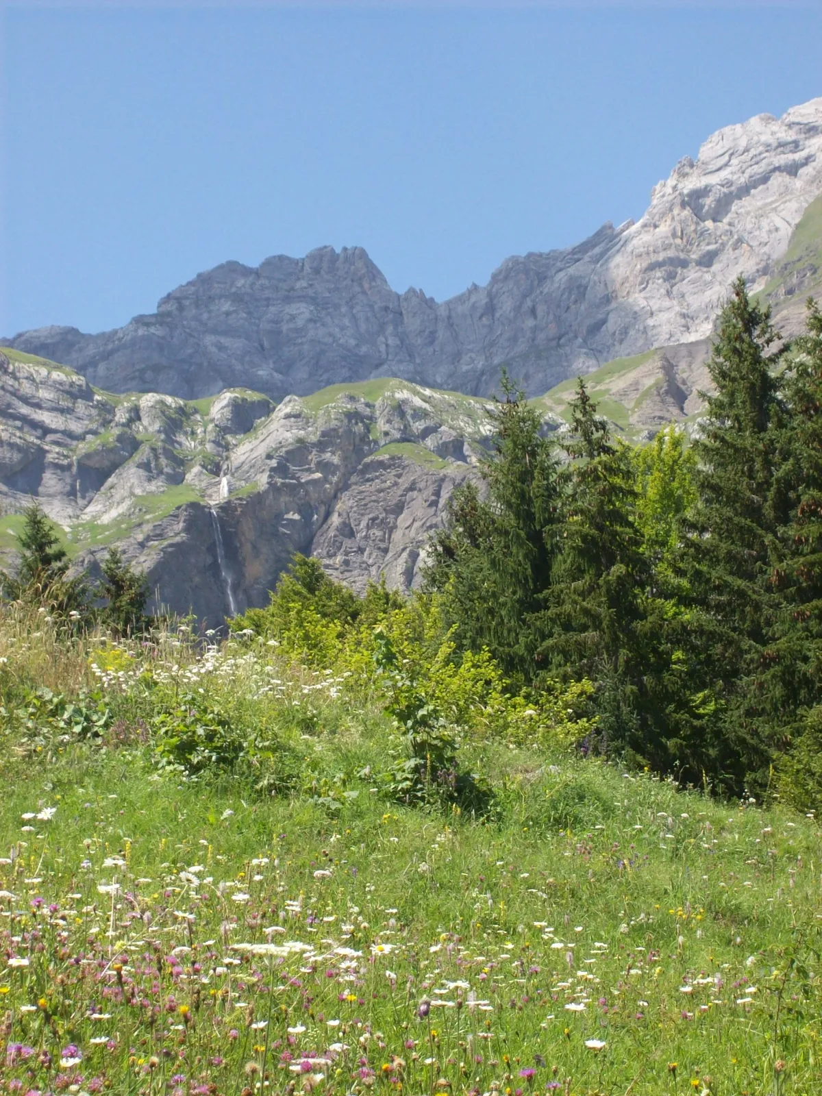
5. after about 30 minutes of walking, you will discover the large Pont de la Flée (renovated in 2020) with the magnificent torrent of Cœur which descends from the Gouille des Fours, by the waterfall of the same name.
6. cross the bridge, and continue to the right on the path which climbs quite steeply. (on the left a path takes you to Cordon)
7. continue this wide and shady path, it will take you to a second bridge and then come out into an open space.
8. you will discover all along this path very beautiful mountain torrents, each as magnificent as the other.
9. after a few bends you will pass in front of the Charmette chalets.
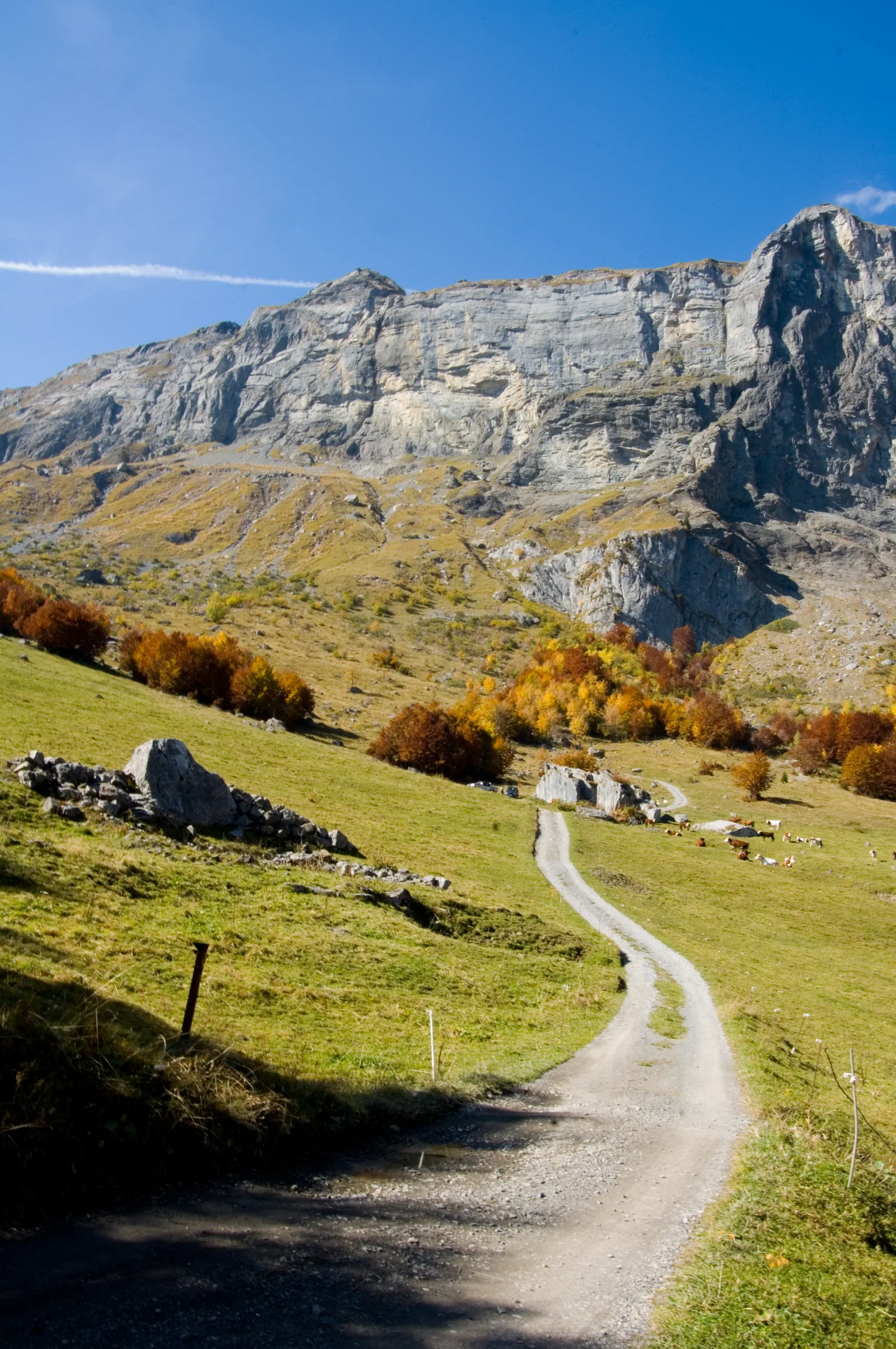
10. you are no longer very far when you arrive in front of a cross and see in the distance the mountain pastures where the famous Pierre Fendue is located.
Legend on the Split Stone: it would have sheltered a vein of gold which explains why we tried to divide it in two! (ref. Pierre Millon Alpes Magazine 1998)
11. Opposite, on the right, a beautiful view of the Fours waterfall and its path which rises very steeply to the Gouille des Fours.
12. on the left in the distance the chalets and mountain pastures of Coeur “les Freddys”
13. the return will take part of the Pays du Mont-Blanc GRP and will cross the Torrent des Fours via a footbridge.
14. at the junction a path goes up towards Mayères via “Les Aiguilles”, you will leave this GRP to continue on the right below by another small pleasant path which will join Couterre a little further down via Marcolaz and Grange Ville.
15. a little before Couterre, another junction leads again to Mayères via Pechettaz this time, follow the other path which goes down to the right.
16. In Couterre, take the path on the right, which goes down to the starting point.
Walking time is approximate and does not include break times.
Hike safely!
This description allows you to orient yourself generally but does not replace a 1/25000 hiking map or other topoguides that you can find in your tourist office! In Sallanches, our Office of Guides & Leaders also offers a wide choice of outings accompanied by mountain professionals providing you with complete expertise on the environment and alpine nature, think about it!
Whatever your hike, check the weather forecast before you go.
Remember to take cereal bars, sufficient water, sunglasses, sunscreen, a small first aid kit, and clothing suitable for your outing depending on the season in your backpack. and the weather forecast.
1. take the carriageway in front of the car park
2. this path climbs slightly in the undergrowth
3. at the fork, take the path on the left which is almost flat with a beautiful panorama of the Aravis, but also behind the Mont-Blanc Massif.
4. continue straight ahead, the path passes a little through the forest and crosses a first small bridge, the Pont de Bellecombe, with a small stream which is very refreshing at the end of winter.
5. after about 30 minutes of walking, you will discover the large Pont de la Flée (renovated in 2020) with the magnificent torrent of Cœur which descends from the Gouille des Fours, by the waterfall of the same name.
6. cross the bridge, and continue to the right on the path which climbs quite steeply. (on the left a path takes you to Cordon)
7. continue this wide and shady path, it will take you to a second bridge and then come out into an open space.
8. you will discover all along this path very beautiful mountain torrents, each as magnificent as the other.
9. after a few bends you will pass in front of the Charmette chalets.
10. you are no longer very far when you arrive in front of a cross and see in the distance the mountain pastures where the famous Pierre Fendue is located.
Legend on the Split Stone: it would have sheltered a vein of gold which explains why we tried to divide it in two! (ref. Pierre Millon Alpes Magazine 1998)
11. Opposite, on the right, a beautiful view of the Fours waterfall and its path which rises very steeply to the Gouille des Fours.
12. on the left in the distance the chalets and mountain pastures of Coeur “les Freddys”
13. the return will take part of the Pays du Mont-Blanc GRP and will cross the Torrent des Fours via a footbridge.
14. at the junction a path goes up towards Mayères via “Les Aiguilles”, you will leave this GRP to continue on the right below by another small pleasant path which will join Couterre a little further down via Marcolaz and Grange Ville.
15. a little before Couterre, another junction leads again to Mayères via Pechettaz this time, follow the other path which goes down to the right.
16. In Couterre, take the path on the right, which goes down to the starting point.
Walking time is approximate and does not include break times.
Hike safely!
This description allows you to orient yourself generally but does not replace a 1/25000 hiking map or other topoguides that you can find in your tourist office! In Sallanches, our Office of Guides & Leaders also offers a wide choice of outings accompanied by mountain professionals providing you with complete expertise on the environment and alpine nature, think about it!
Whatever your hike, check the weather forecast before you go.
Remember to take cereal bars, sufficient water, sunglasses, sunscreen, a small first aid kit, and clothing suitable for your outing depending on the season in your backpack. and the weather forecast.