
sentier pédestre & jeepable : Mayères depuis Burzier
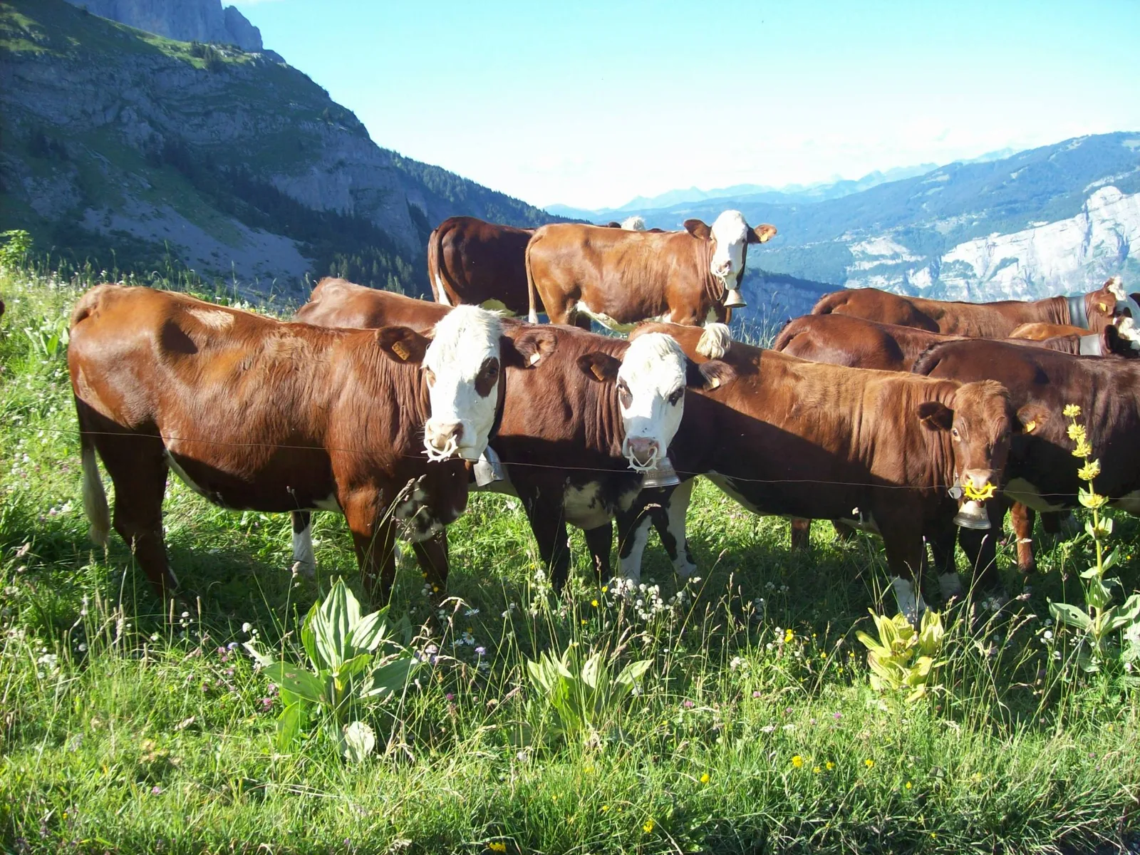
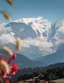
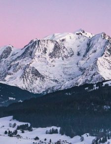
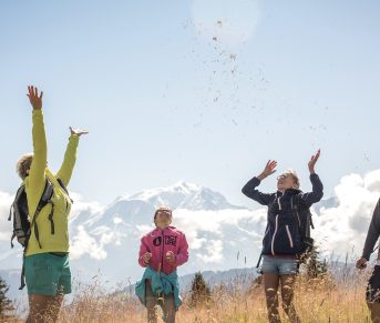
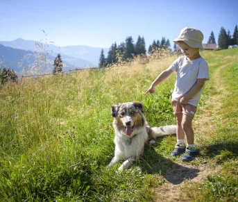
Beautiful family hike with panoramic views of Mont-Blanc and Les Fiz.
This trail is easier but more frequented by 4x4s. A path, pedestrian only, exists at the end of the parking lot.
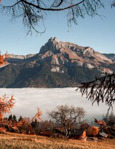
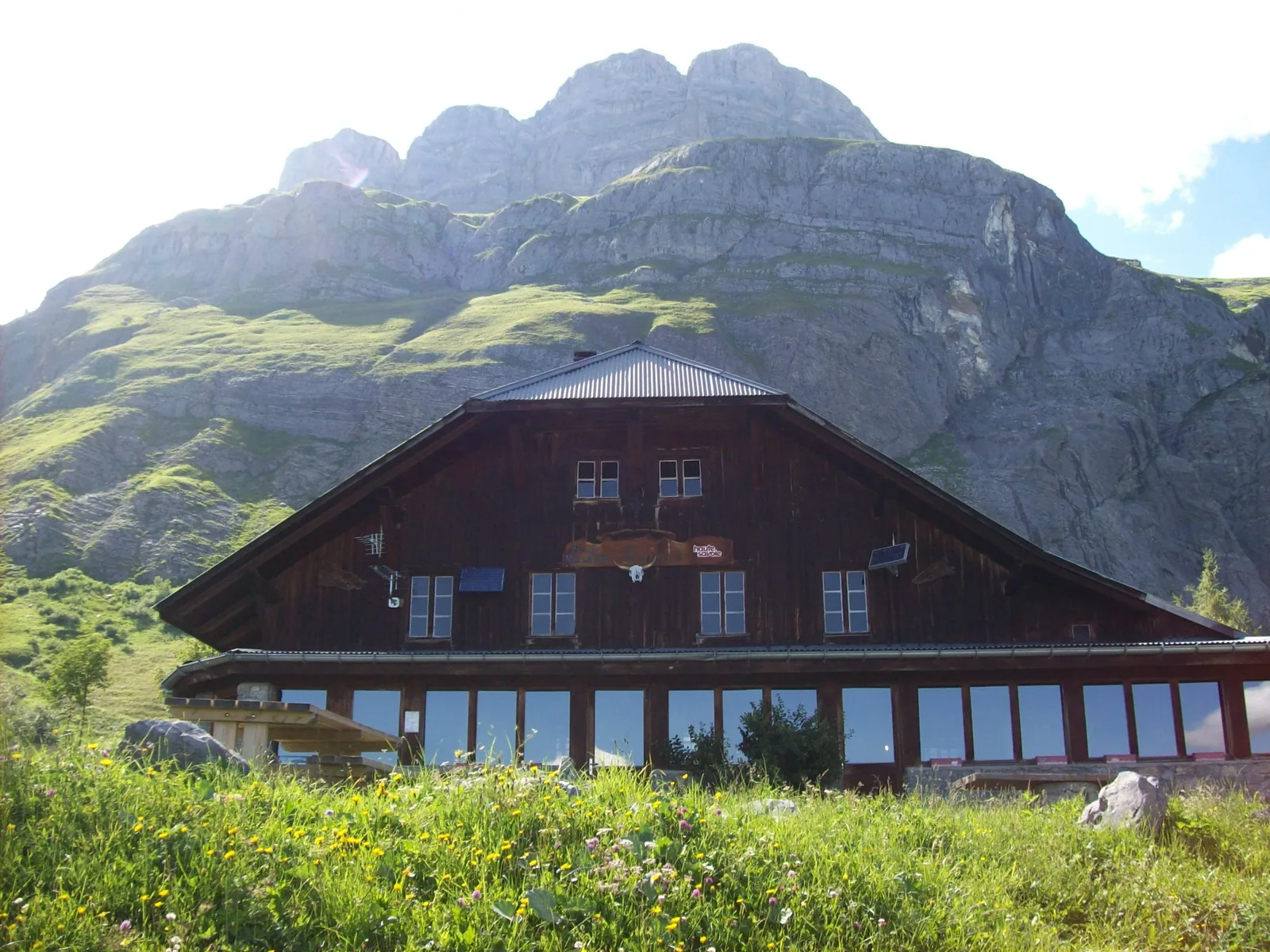
On arrival, 2 shelters welcome you.
This trail is easier but more frequented by 4x4s. A path, pedestrian only, exists at the end of the parking lot.
On arrival, 2 shelters welcome you.
Route details
Description
Departure: Burzier car park
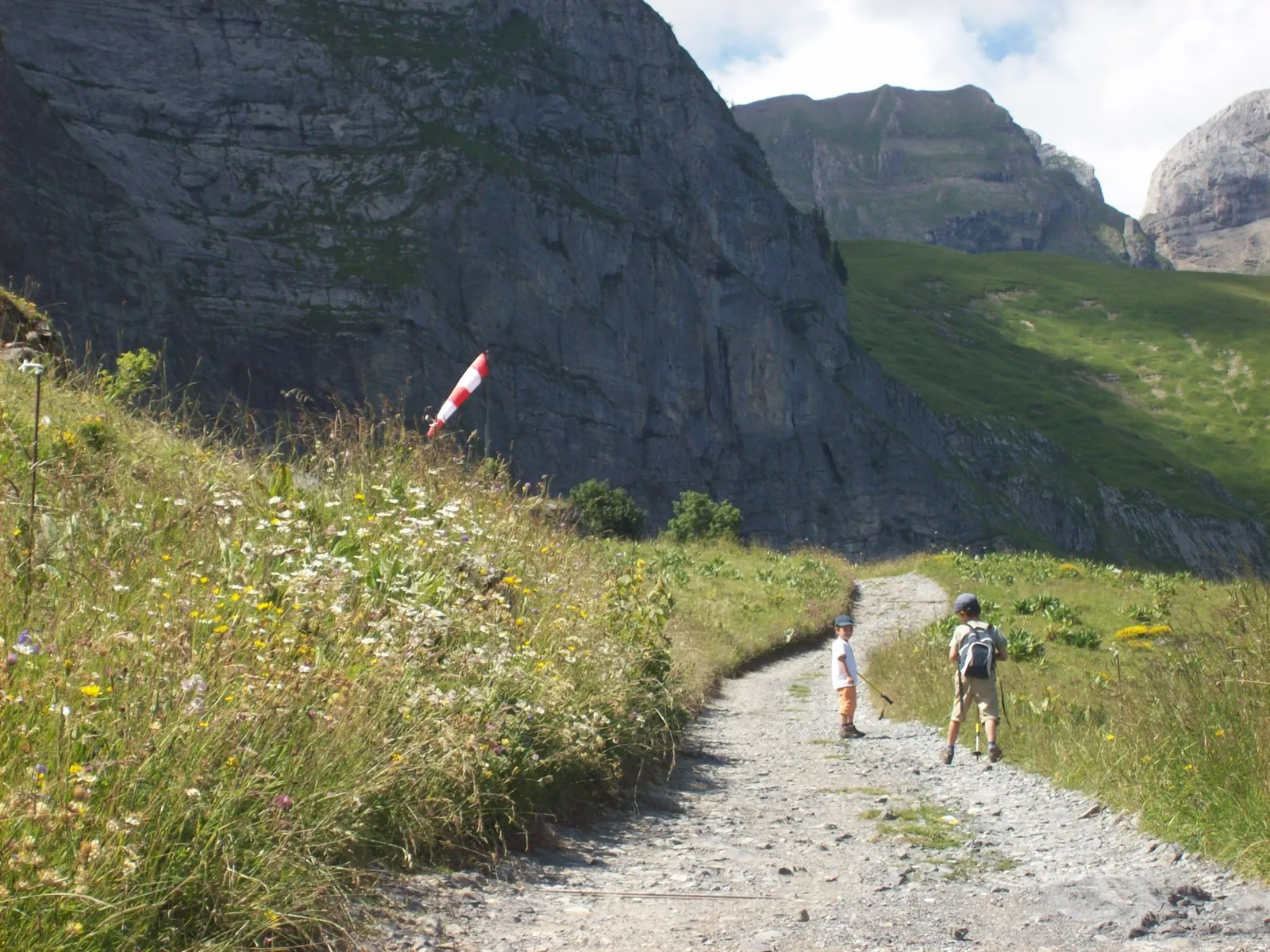
This 4×4 path is semi-shaded at the start, then clearer towards the top of the mountain pasture. Accessible to 4x4s every day without restrictions.
1. start this route via the road at the entrance to the car park.
2. the slope is a little steep at the start, but for only about 500 m (15 min)
2. you then arrive at a crow's foot with the direction of Doran in front of you and on the left that of Mayères
3. take the left direction, direction Mayères, always by the jeepable path
4. the path is semi-shaded and emerges at times to give you a glimpse of the Mont-Blanc massif
5. After 1h30 to 2h of walking you will arrive at the 1st mountain refuge and restaurant Tornieux
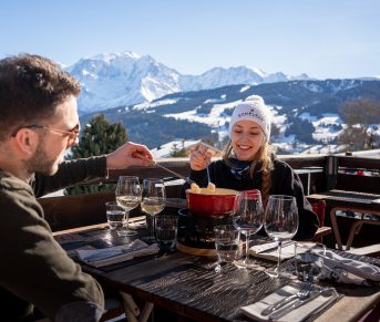
6. then 10 minutes above, you will find the Mayères mountain refuge and restaurant with its famous altisurface: the last in Haute-Savoie.
Many other hiking routes start here:
the Arête des Saix, the valley of Doran, the Broken Finger, Lanchéron, the Quatres têtes, the Fours, the Split Stone, the Vallée de Coeur,…
Return by the same route, round trip (possibility of taking the forest route if you wish)
Walking time is approximate and does not include break times.
Hike safely!
This description allows you to orient yourself generally but does not replace a 1/25000 hiking map or other topoguides that you can find in your tourist office! In Sallanches, our Office of Guides & Leaders also offers a wide choice of outings accompanied by mountain professionals providing you with complete expertise on the environment and alpine nature, think about it!
Whatever your hike, check the weather forecast before you go.
Remember to take cereal bars, sufficient water, sunglasses, sunscreen, a small first aid kit, and clothing suitable for your outing depending on the season in your backpack. and the weather forecast.
This 4×4 path is semi-shaded at the start, then clearer towards the top of the mountain pasture. Accessible to 4x4s every day without restrictions.
1. start this route via the road at the entrance to the car park.
2. the slope is a little steep at the start, but for only about 500 m (15 min)
2. you then arrive at a crow's foot with the direction of Doran in front of you and on the left that of Mayères
3. take the left direction, direction Mayères, always by the jeepable path
4. the path is semi-shaded and emerges at times to give you a glimpse of the Mont-Blanc massif
5. After 1h30 to 2h of walking you will arrive at the 1st mountain refuge and restaurant Tornieux
6. then 10 minutes above, you will find the Mayères mountain refuge and restaurant with its famous altisurface: the last in Haute-Savoie.
Many other hiking routes start here:
the Arête des Saix, the valley of Doran, the Broken Finger, Lanchéron, the Quatres têtes, the Fours, the Split Stone, the Vallée de Coeur,…
Return by the same route, round trip (possibility of taking the forest route if you wish)
Walking time is approximate and does not include break times.
Hike safely!
This description allows you to orient yourself generally but does not replace a 1/25000 hiking map or other topoguides that you can find in your tourist office! In Sallanches, our Office of Guides & Leaders also offers a wide choice of outings accompanied by mountain professionals providing you with complete expertise on the environment and alpine nature, think about it!
Whatever your hike, check the weather forecast before you go.
Remember to take cereal bars, sufficient water, sunglasses, sunscreen, a small first aid kit, and clothing suitable for your outing depending on the season in your backpack. and the weather forecast.