
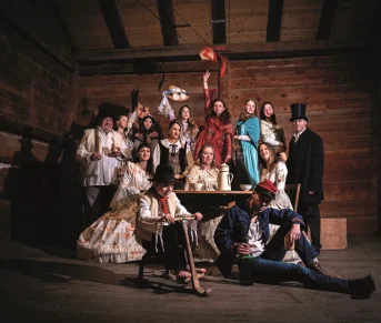

Boucle noire cyclo touristique au Pays du Mont Blanc
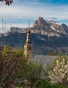
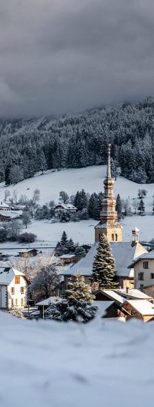
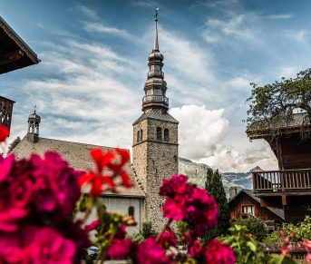
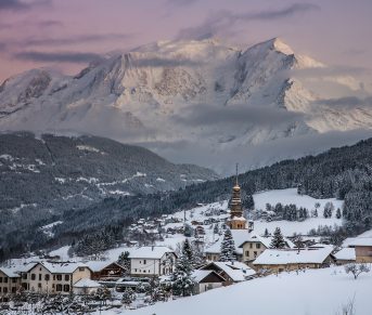
This itinerary allows you to discover the traditional villages of the territory of the Pays du Mont Blanc, with a rich heritage.
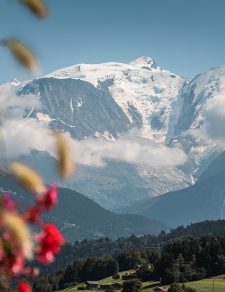
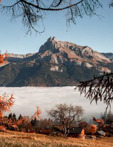
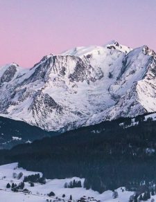
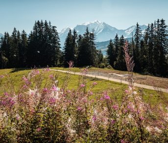
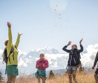
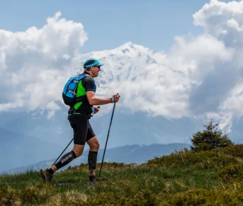
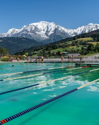
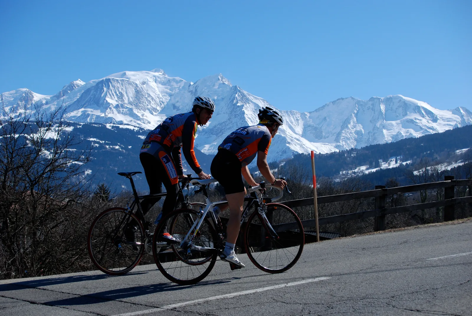
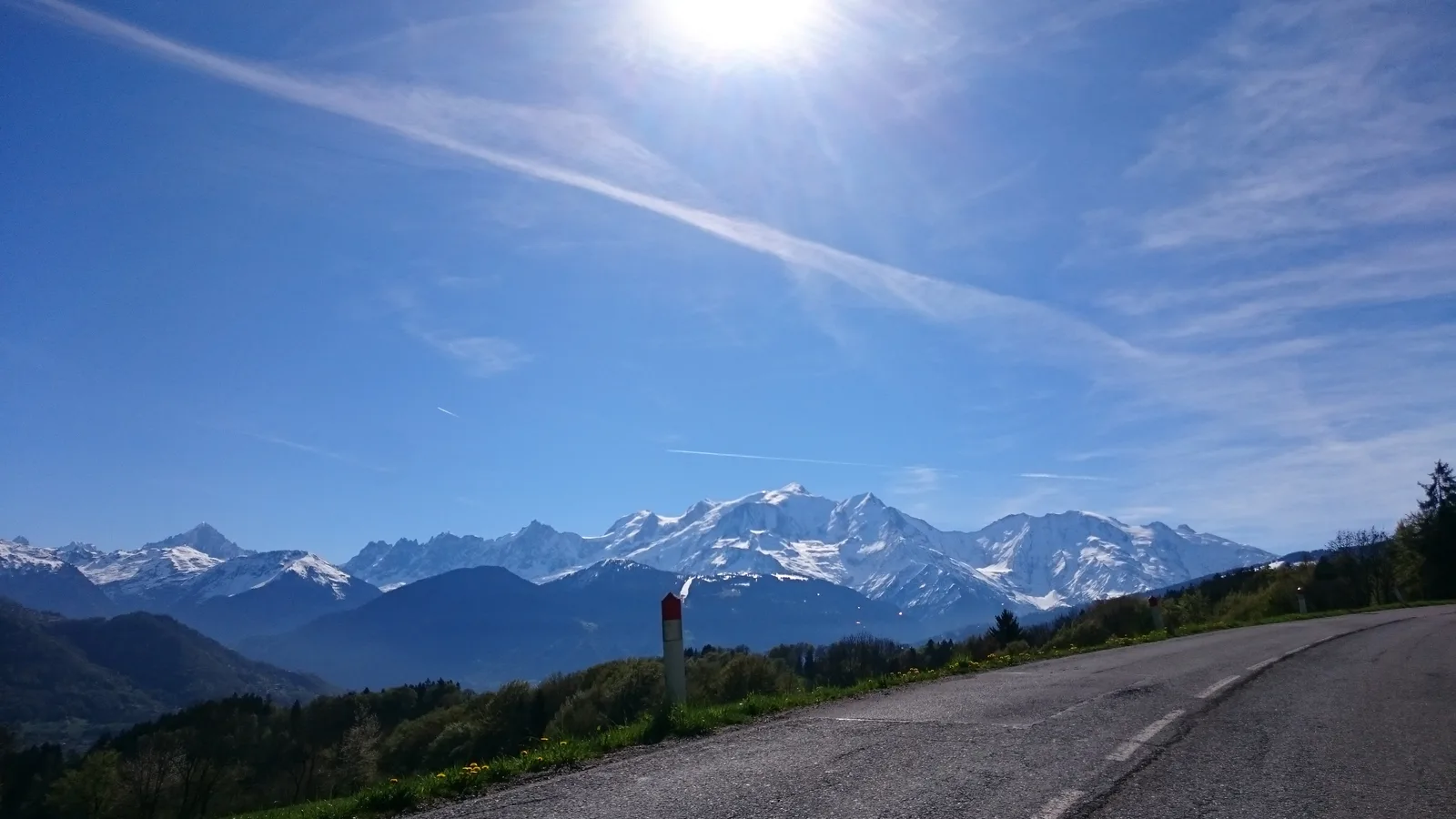
It offers magnificent views, all along the route, of Mont Blanc and the surrounding mountains (Fiz, Aravis).
It offers magnificent views, all along the route, of Mont Blanc and the surrounding mountains (Fiz, Aravis).
Route details
Description
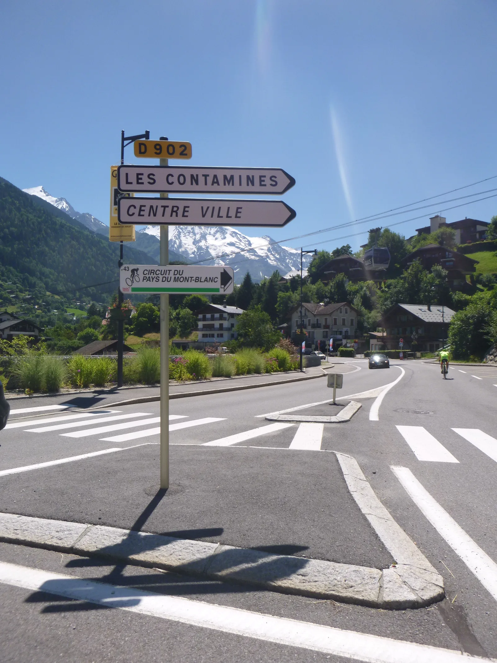
Black loop No. 43 on the ground – “Circuit du Pays du Mont-Blanc”
Technical analysis :
Route: The Departmental Council of Haute-Savoie offers around forty signposted road routes to discover the landscapes of the department by bike. These itineraries are offered in the form
of loop which makes it possible to diversify the landscapes.
Round-trip itineraries are avoided because they pose problems of understanding the continuity of the route and reading the signs.
The start of this loop is located in Sallanches, at Pré Curral (bike path along the Biale stream)
Technical summary: City of departure / TER: Sallanches
Length: 54.7 km
Cumulative drop: 1057 m
Difficulty: black
Travel direction: counter-clockwise
Landmarks and connections: direction Cordon to then pass above the
town center of Combloux, then passing through the town center of Megève to
join the town of Saint-Gervais and finally bypass the lake of Ilettes returning to Sallanches by the Voie Verte along the Arve.
Variant: A possibility of extending the route has been proposed allowing
make a loop in the town of Contamines-Montjoie. This lengthens
the 20 km circuit and adds 400m to the total cumulative elevation gain.
Length with variant: 75 km
Cumulative drop with variant: 1459 m
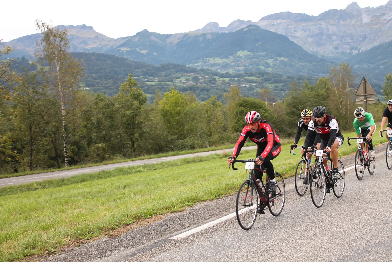
This cycling tour takes advantage of a magnificent landscape all along the route with many panoramas and a passage along the Lac des Ilettes at the end of the stage.
The main coasts are located:
– From Sallanches city center to Médon (5,5% over 8km)
– From the town center of Combloux to the entrance to the commune of Megève (4,4% over 5km)
– Starting from the bottom of the Route des Ponthieux on the D43 (5,1% over 4km)
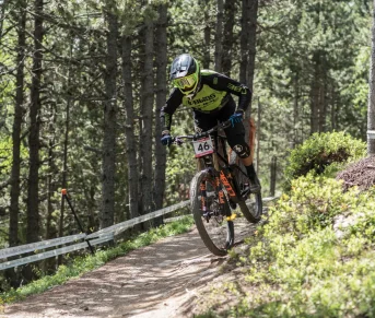
In view of these elements, length, elevation and road traffic, this route is to be reserved for a sporty and experienced public.
The classification of the route according to the official coding grid of the FFCT* and the FVT*, gives this one for a sporting practice, confirmed and technical.
Quotation and information to be taken into account, in the event of promotion of the course for VAE (Electric Assistance Bicycles).
* FFCT (French Cycling Federation)
* FVT (France Cycling Tourism)
Synthesis
This cycle tourism loop project proposed to the Departmental Council, can be part of a complement to the offer of cycle tourism loops of departmental interest.
This route may be open to a wider public thanks to the use of VAE (Electrically Assisted Bicycles) but it is recalled that the cyclist will have to know how to manage the various difficulties encountered (sections with traffic, steep descents).
The route therefore remains reserved for seasoned cyclists who have a good experience of cycling and who will be able to assess the difficulties.
The departmental cycle-tourism loops: as part of its policy to develop cycling (utility and leisure – tourism), the department implemented marked cycle-tourism and cycle-sports routes in 2002. They are 48 in number and represent a little more than 3000 km of cumulative length.
This offer is designed for experienced and sporty cyclists, it consists of the implementation of markings on existing roads without carrying out specific arrangements.
Note: A similar offer has been made in Savoie allowing 115 itineraries to be offered in Savoie Mont Blanc.
This project for new loops in the Pays du Mont Blanc sector would make it possible to expand the department's offer.
Technical analysis :
Route: The Departmental Council of Haute-Savoie offers around forty signposted road routes to discover the landscapes of the department by bike. These itineraries are offered in the form
of loop which makes it possible to diversify the landscapes.
Round-trip itineraries are avoided because they pose problems of understanding the continuity of the route and reading the signs.
The start of this loop is located in Sallanches, at Pré Curral (bike path along the Biale stream)
Technical summary: City of departure / TER: Sallanches
Length: 54.7 km
Cumulative drop: 1057 m
Difficulty: black
Travel direction: counter-clockwise
Landmarks and connections: direction Cordon to then pass above the
town center of Combloux, then passing through the town center of Megève to
join the town of Saint-Gervais and finally bypass the lake of Ilettes returning to Sallanches by the Voie Verte along the Arve.
Variant: A possibility of extending the route has been proposed allowing
make a loop in the town of Contamines-Montjoie. This lengthens
the 20 km circuit and adds 400m to the total cumulative elevation gain.
Length with variant: 75 km
Cumulative drop with variant: 1459 m
This cycling tour takes advantage of a magnificent landscape all along the route with many panoramas and a passage along the Lac des Ilettes at the end of the stage.
The main coasts are located:
– From Sallanches city center to Médon (5,5% over 8km)
– From the town center of Combloux to the entrance to the commune of Megève (4,4% over 5km)
– Starting from the bottom of the Route des Ponthieux on the D43 (5,1% over 4km)
In view of these elements, length, elevation and road traffic, this route is to be reserved for a sporty and experienced public.
The classification of the route according to the official coding grid of the FFCT* and the FVT*, gives this one for a sporting practice, confirmed and technical.
Quotation and information to be taken into account, in the event of promotion of the course for VAE (Electric Assistance Bicycles).
* FFCT (French Cycling Federation)
* FVT (France Cycling Tourism)
Synthesis
This cycle tourism loop project proposed to the Departmental Council, can be part of a complement to the offer of cycle tourism loops of departmental interest.
This route may be open to a wider public thanks to the use of VAE (Electrically Assisted Bicycles) but it is recalled that the cyclist will have to know how to manage the various difficulties encountered (sections with traffic, steep descents).
The route therefore remains reserved for seasoned cyclists who have a good experience of cycling and who will be able to assess the difficulties.
The departmental cycle-tourism loops: as part of its policy to develop cycling (utility and leisure – tourism), the department implemented marked cycle-tourism and cycle-sports routes in 2002. They are 48 in number and represent a little more than 3000 km of cumulative length.
This offer is designed for experienced and sporty cyclists, it consists of the implementation of markings on existing roads without carrying out specific arrangements.
Note: A similar offer has been made in Savoie allowing 115 itineraries to be offered in Savoie Mont Blanc.
This project for new loops in the Pays du Mont Blanc sector would make it possible to expand the department's offer.