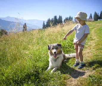
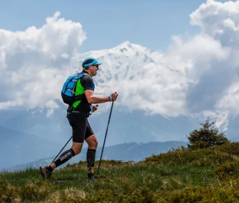


A medium level hike, with relatively easy access. It offers diversified landscapes (forest pass, mountain pastures) with a finish close to glacial peaks.
Topo / step by step
1/ From Notre Dame de la Gorge, take the path following the torrent on the right after crossing the footbridge. Continue on this path following the signposting of the GR du Tour du Pays du Mont Blanc, continuing on the Roman Way. Always follow this direction, you will pass by the Pont Romain, the Sollie, Sous Nant Borrant, Refuge de Nant Borrant, La Rollaz (Downstream) and La Rollaz (Upstream)
2/ Arrived at the Refuge de la Balme, at the fork, take the path to the left towards the Col du Bonhomme.
3/ At the intersection of Chalets Jovets, turn left towards Lacs Jovet
4/ Arriving at the Jovet lakes, go around the lakes in the direction you want, then return via the same route as on the way out.
Route details
Description
From Notre Dame de la Gorge, you first walk along the water, accompanied by the Bon Nant in the hollow of the Val Montjoie to the Refuge du Nant Borrant.
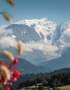
You follow the route of the GR5 long-distance hiking trails and the legendary Tour du Mont-Blanc.
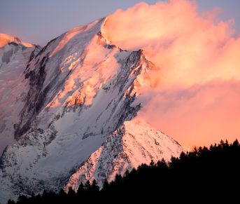
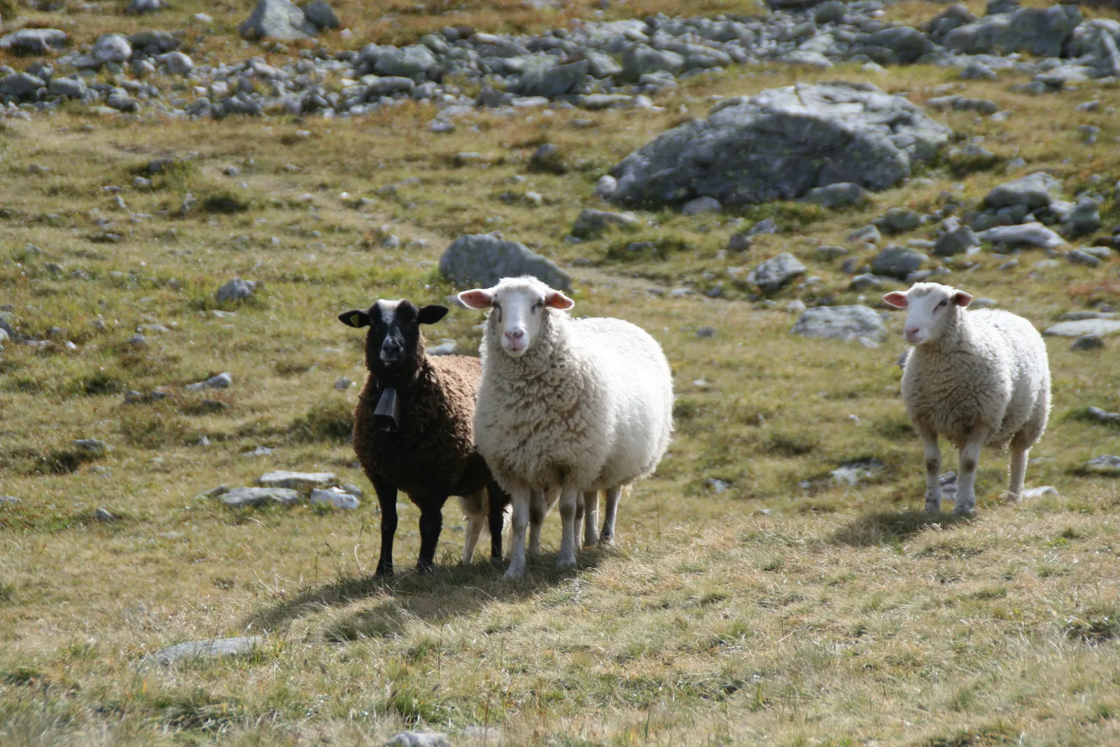
By following the Roman Way, you will gradually plunge into the heart of the Contamines National Nature Reserve, the highest nature reserve in France.
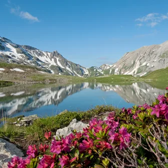
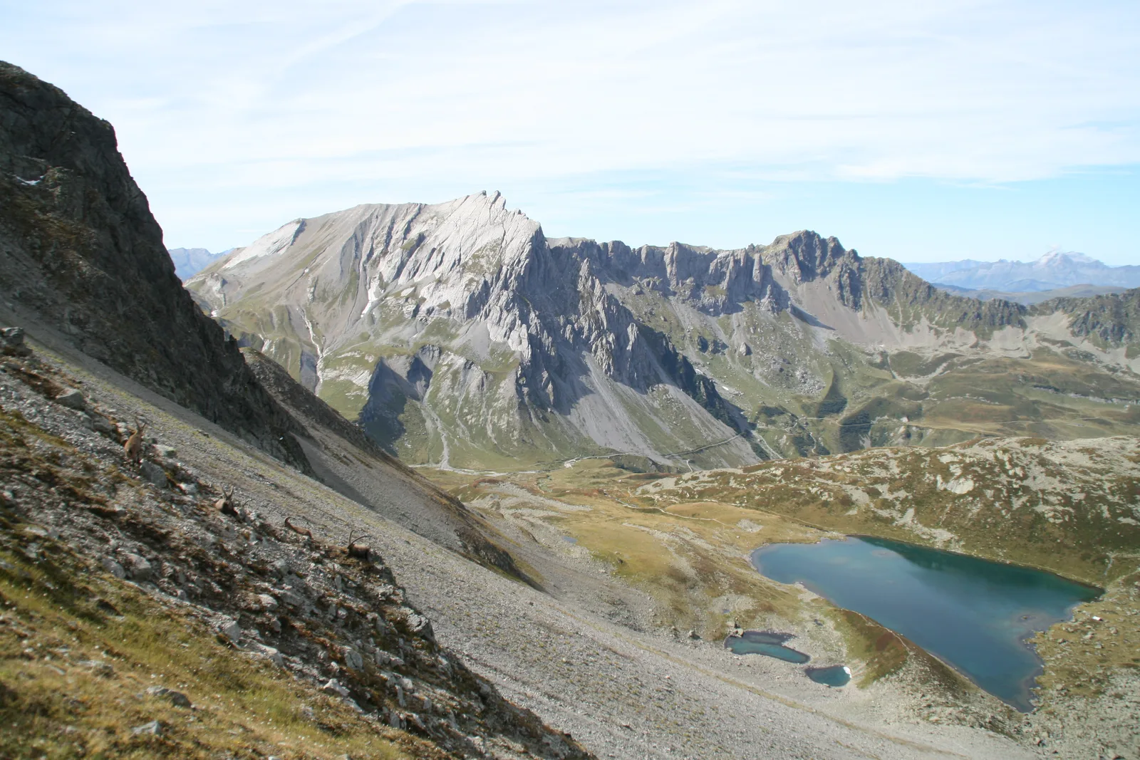
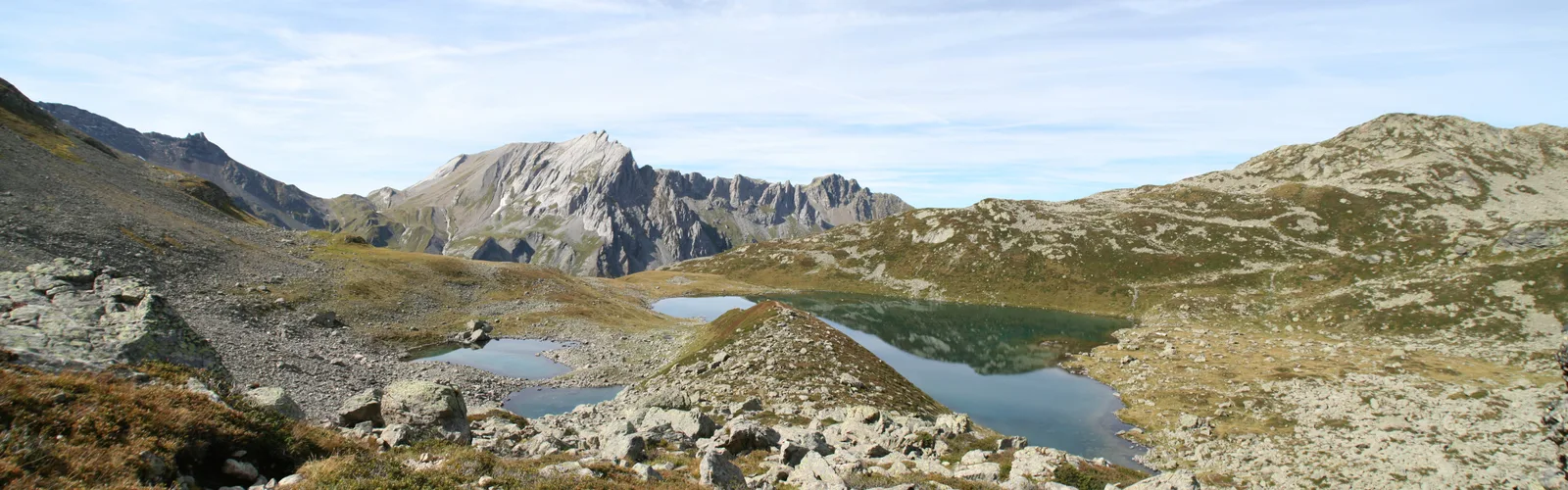
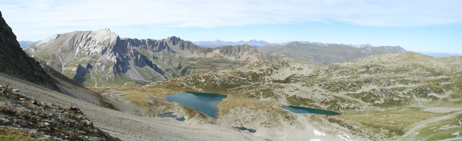
Shortly after passing the Refuge de Balme, the Chalets Jovets in the heart of a moorland made up of rhododendrons, blueberries and junipers, among other things, are the gateway to the lakes.
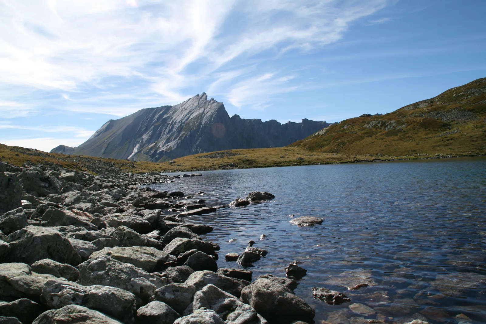
At the first then the second (smaller), admire in front of you, the Mont Tondu which culminates at 3 m and behind you, the valley which leads to the Col du Bonhomme.
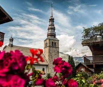
After your return to Notre Dame de la Gorge by the same path, do not hesitate to take advantage of your end of the day to visit the baroque chapel, and return to the parking lot via the botanical trail, which is very informative.
You follow the route of the GR5 long-distance hiking trails and the legendary Tour du Mont-Blanc.
By following the Roman Way, you will gradually plunge into the heart of the Contamines National Nature Reserve, the highest nature reserve in France.
Shortly after passing the Refuge de Balme, the Chalets Jovets in the heart of a moorland made up of rhododendrons, blueberries and junipers, among other things, are the gateway to the lakes.
At the first then the second (smaller), admire in front of you, the Mont Tondu which culminates at 3 m and behind you, the valley which leads to the Col du Bonhomme.
After your return to Notre Dame de la Gorge by the same path, do not hesitate to take advantage of your end of the day to visit the baroque chapel, and return to the parking lot via the botanical trail, which is very informative.