


Departure: Burzier car park
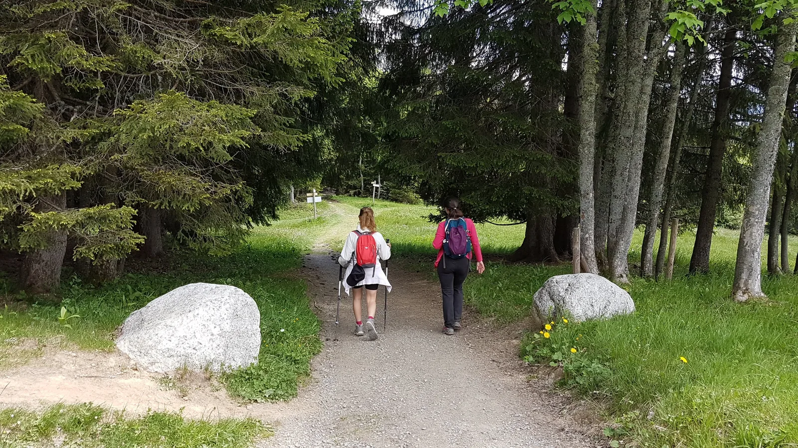
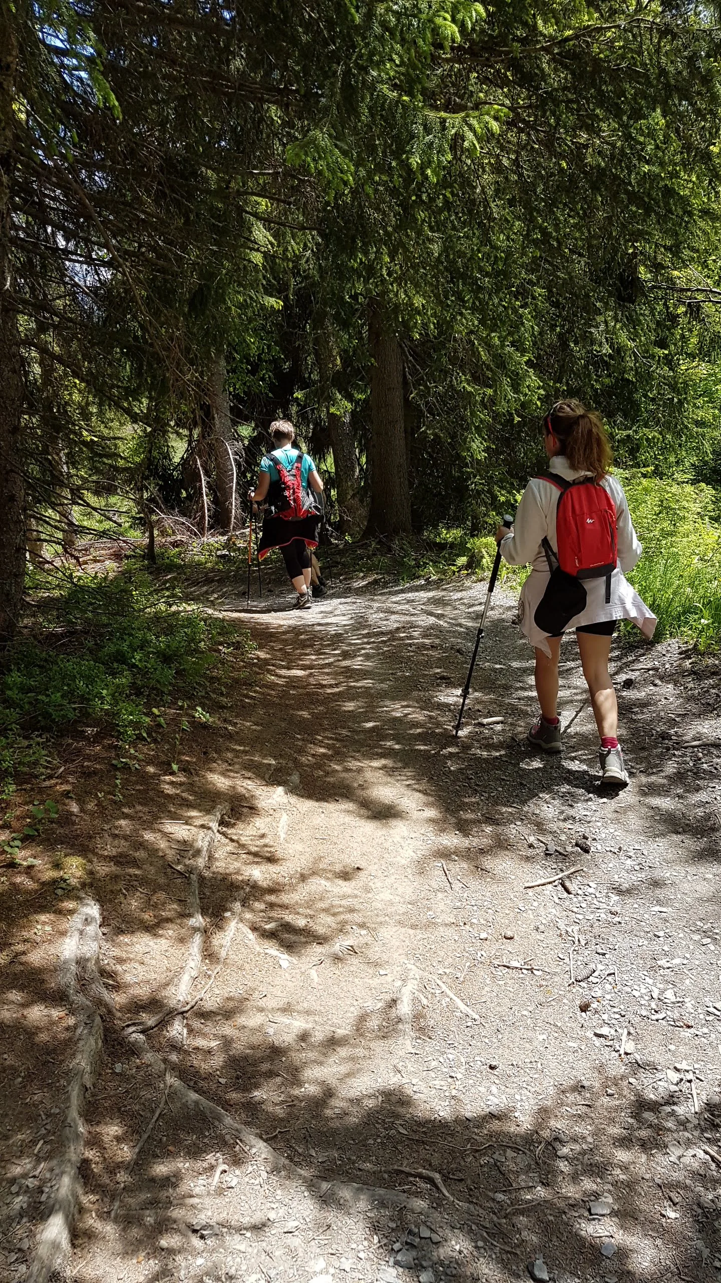
1. at the end of the car park, take the small path that climbs through the forest
2. the path crosses the Cornache stream several times which descends from the Mayères mountain pasture
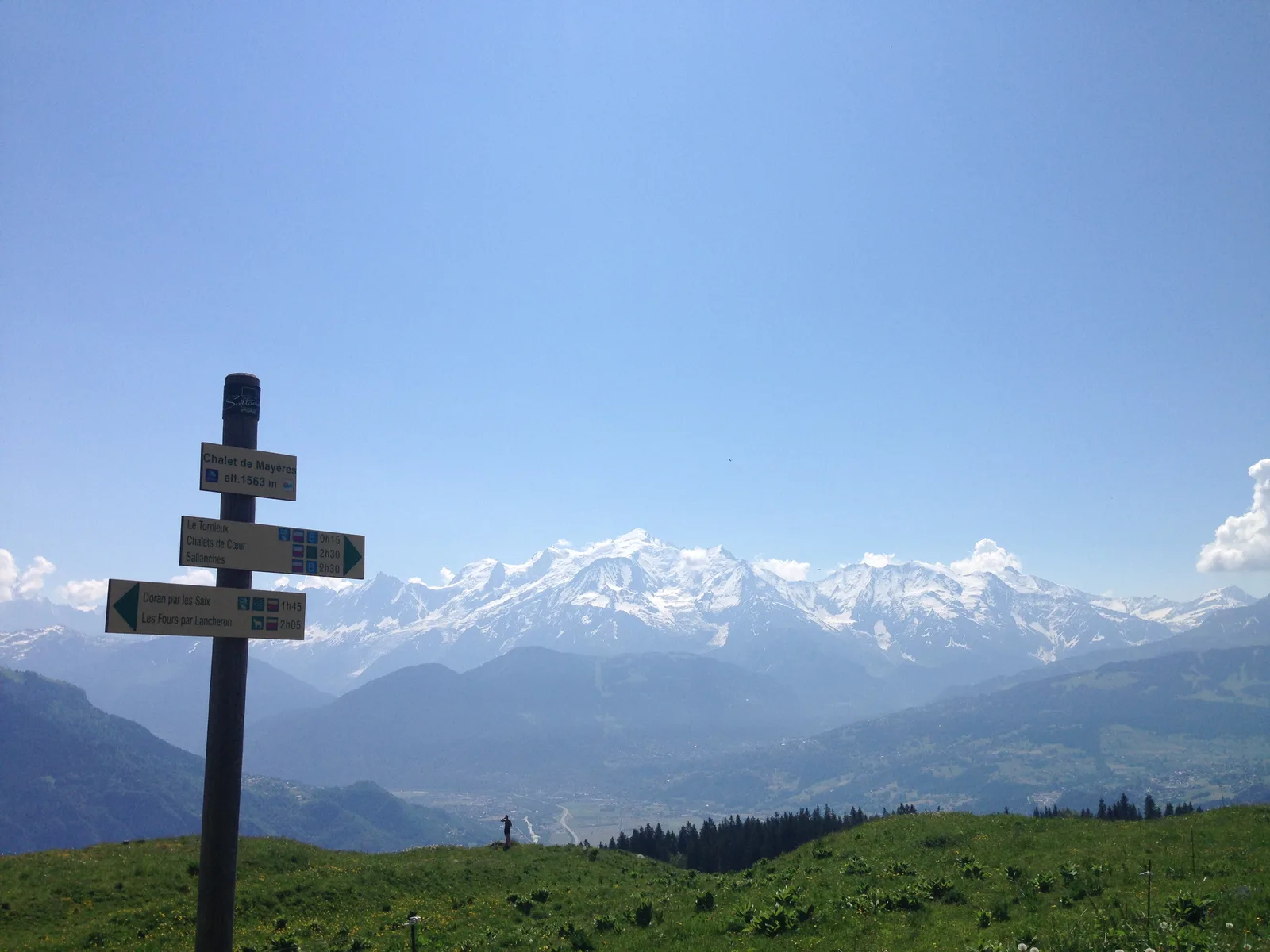
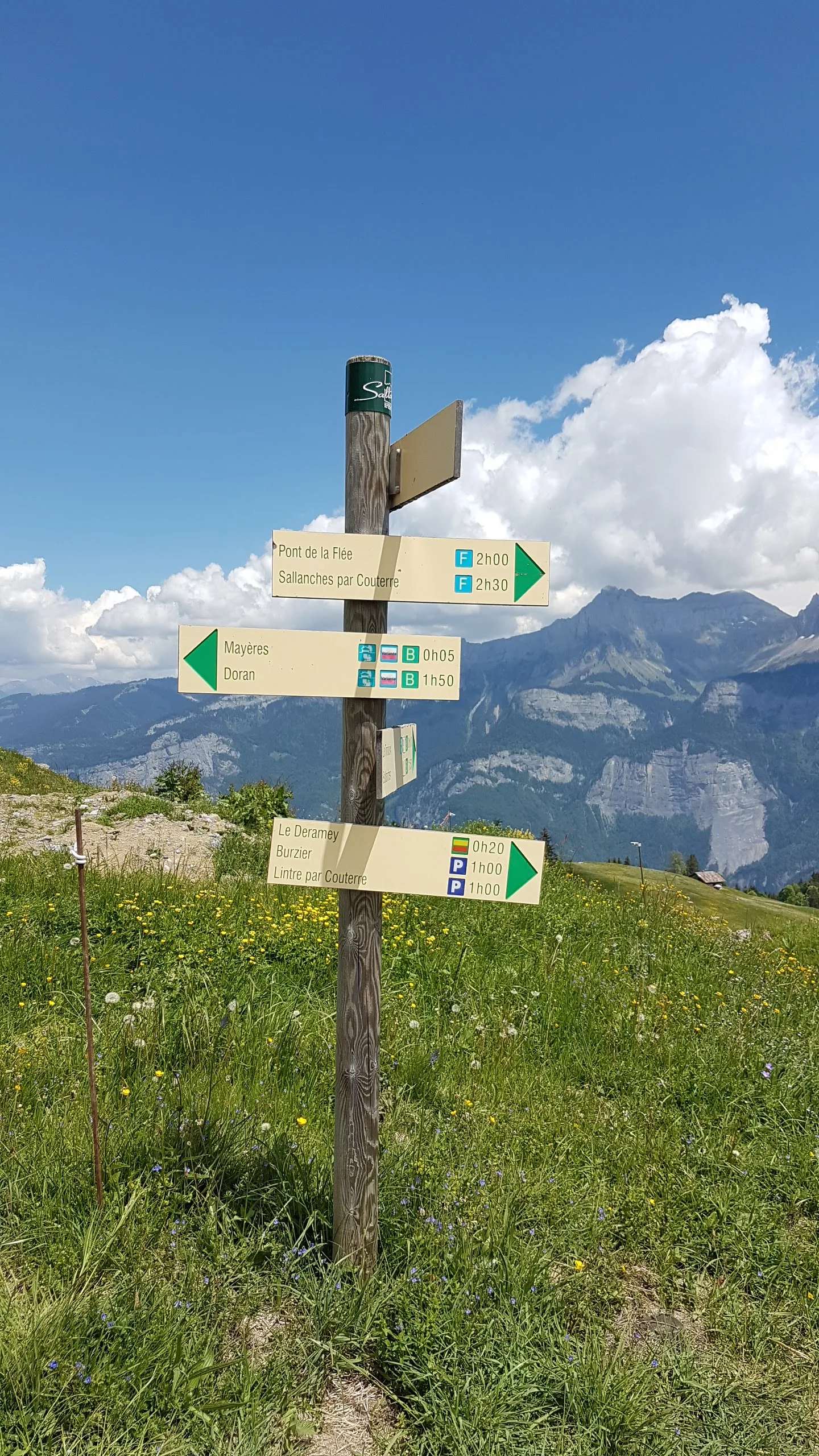
3. at the 1st fork, take the path on the right which heads towards Mayères; the one on the left leads to the village of Les Houches via Les Combes or joins the Deramey
4. at the 2nd junction continue straight, you will leave on your right the path which joins the jeepable track and on the left the path which goes towards Deramey
5. continue straight ahead, the next forks (3-4-5) lead to the same places as before
6. the 6th junction, always straight on towards Mayères; on the right access to the refuge of Tornieux and on the left you can go to Lintre by the Pachettaz then Couterre.
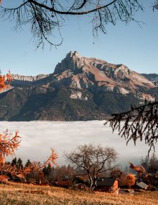
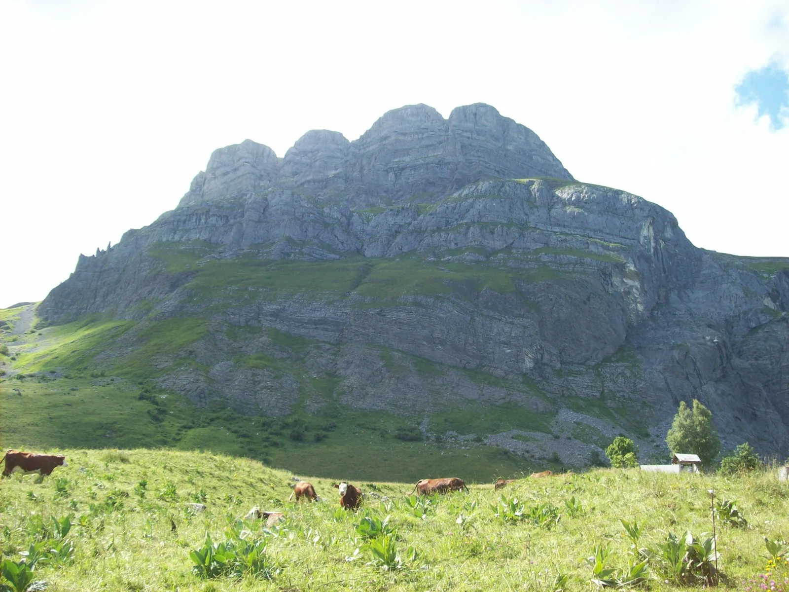
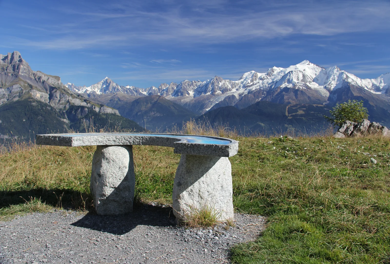
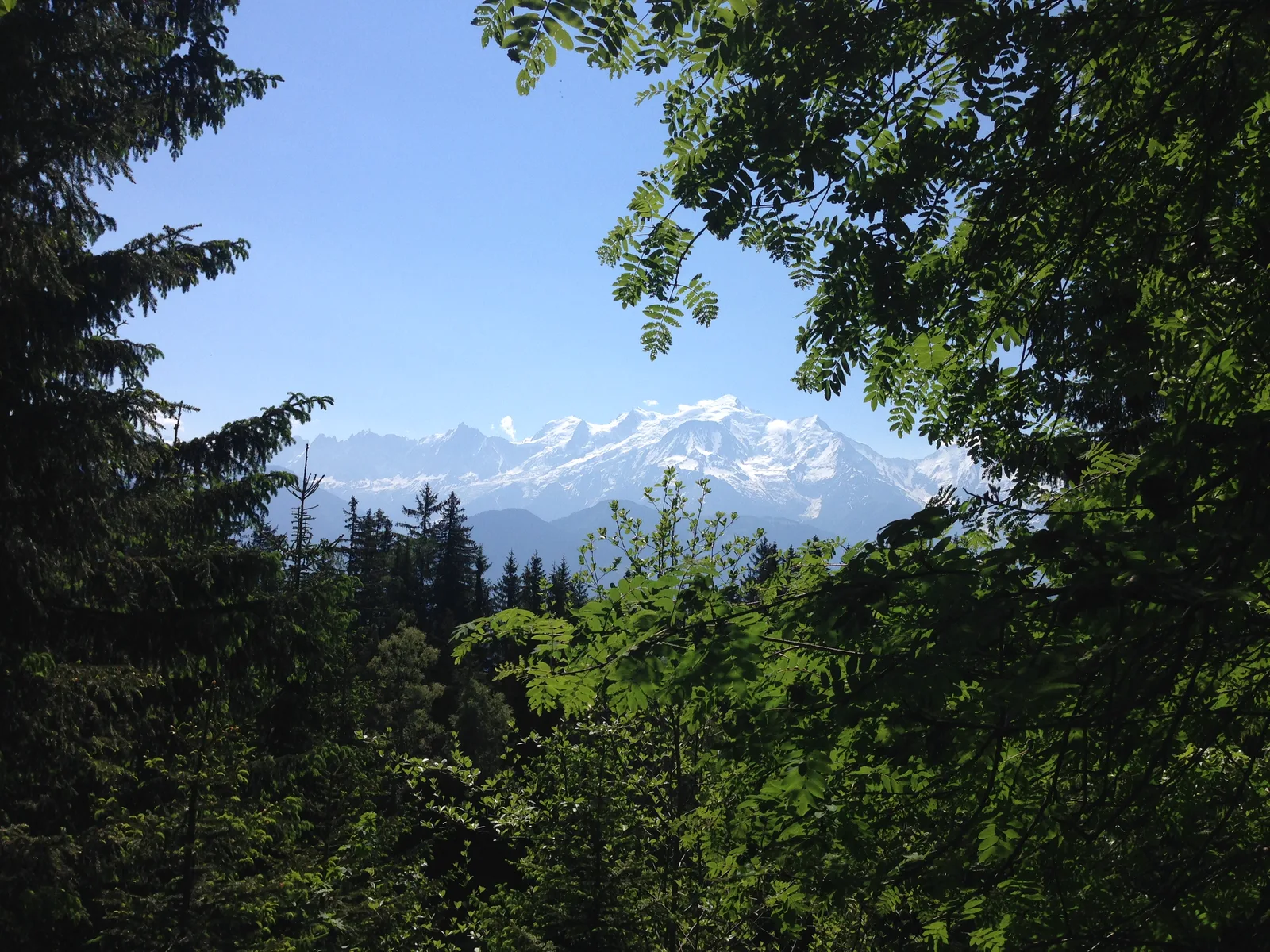
7. you arrive at the Mayères cross then at the panoramic table to then join the jeepable track which takes you to the finish, at the foot of the Quatre Têtes.
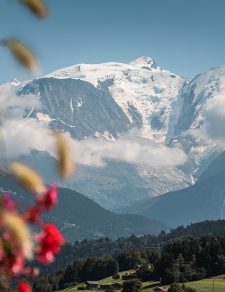
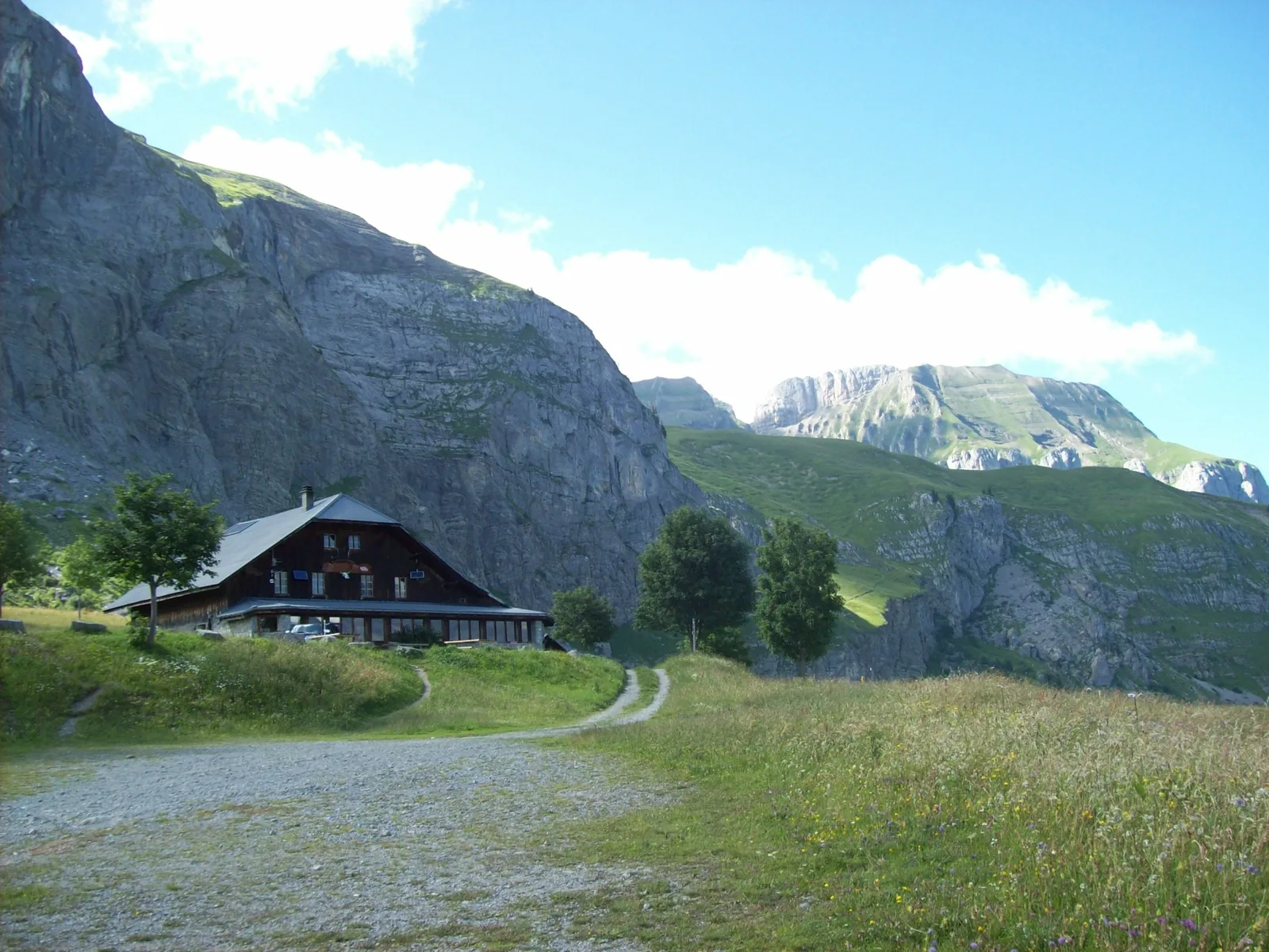
8. at the top you will find the Mayères refuge with its famous altisurface: the last in Haute-Savoie.
Many other hiking routes start here:
the Saix Ridge, the Doran valley, the Broken Finger, Lanchéron, the Quatres têtes, the Fours, the split stone, the Vallée de Coeur, the Col de Niard…
Return by the same route (round trip); or if you wish by the 4×4 track
Route details
Description
In Sallanches, our Office of Guides & Leaders also offers a wide choice of outings accompanied by mountain professionals providing you with complete expertise on the environment and alpine nature. Ask at the tourist office to register.
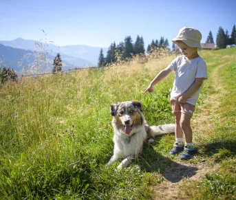
Whatever your hike, check the weather before you go. Remember to take cereal bars, sufficient water, sunglasses, sunscreen, a cap or hat, a small first aid kit, as well as clothing suitable for your outing in your backpack. depending on the season and the forecast weather.