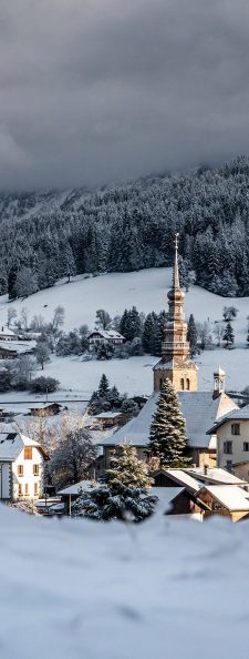
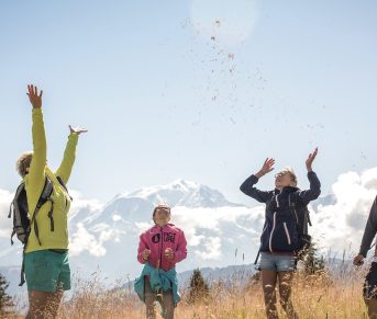
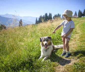


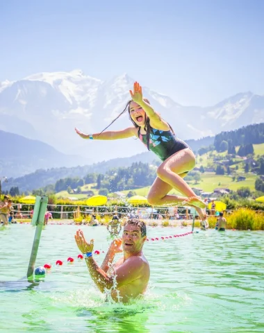
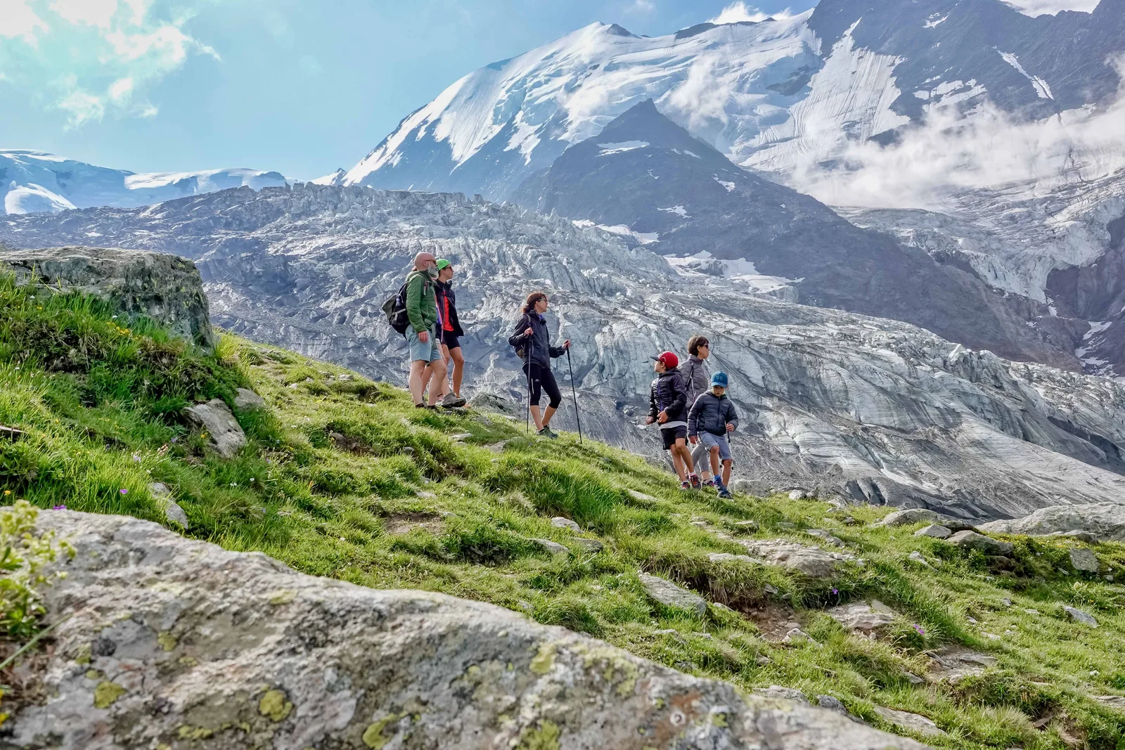
A hike to follow in the footsteps of the first chamois hunters in the valley. The approach to the glacial world is gradual, at the Nid d'Aigle you may see ibexes.
Route details
Alert
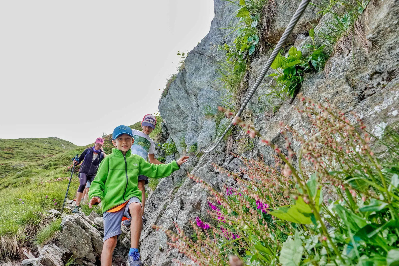
Passage of "ladders" (iron stairs on the side of rocks) in the last meters of the finish.
Description
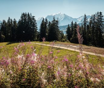
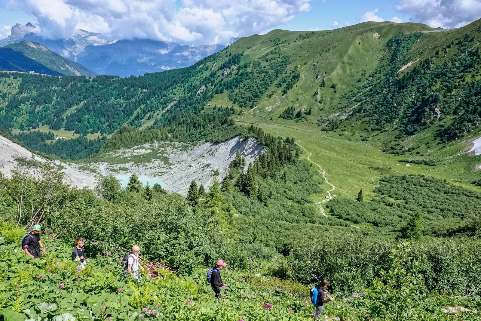
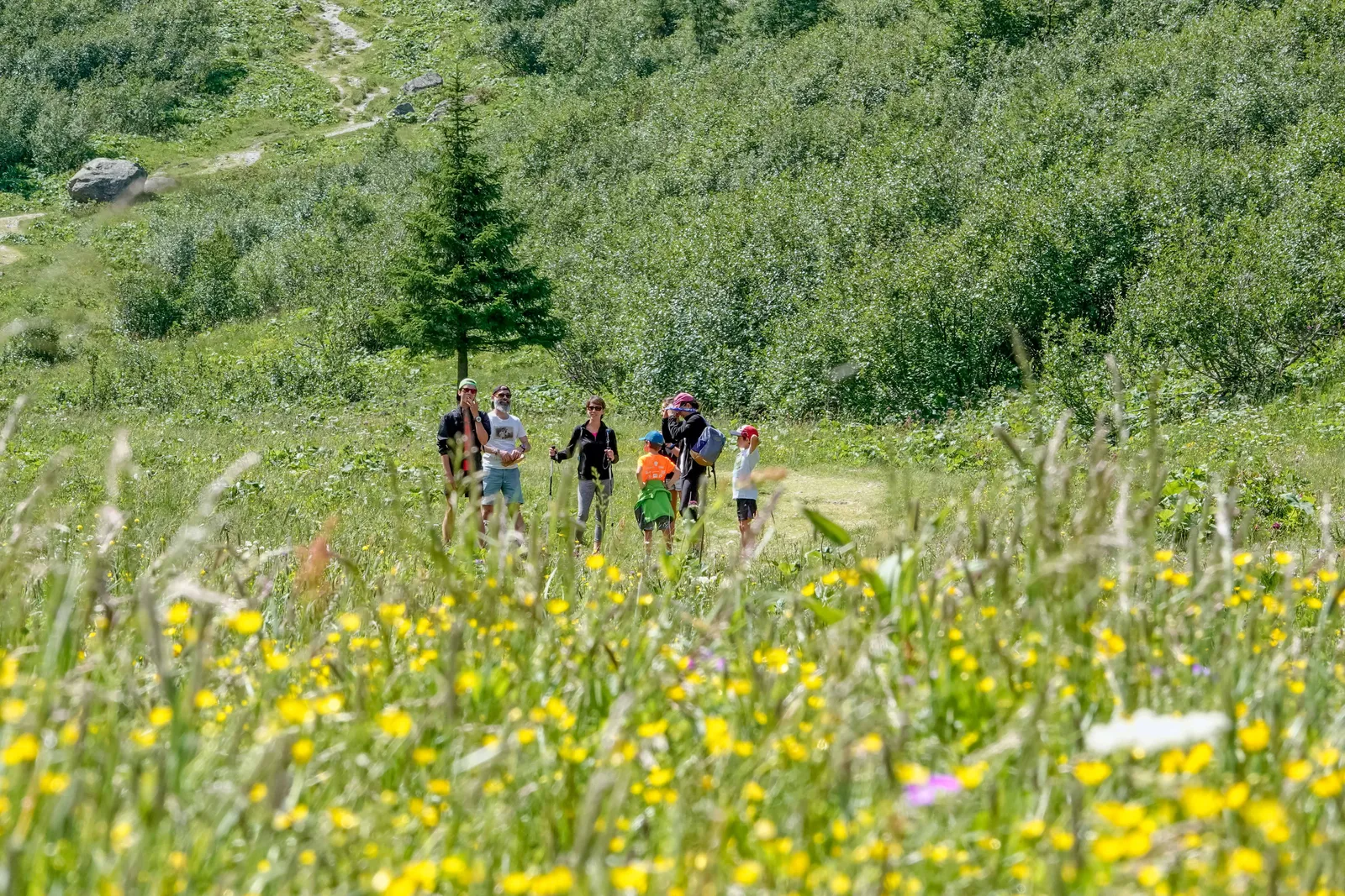
You go into the forest before climbing one level, in the mountain pastures and meadows. As you walk, the vegetation changes, the air cools and you slowly approach the Bionnassay glacier to finally follow it to the Nid d'Aigle. A passage equipped with cables and metal stairs gives a playful side to your ascent.
On the descent, you can take the TMB to the Col de Voza.
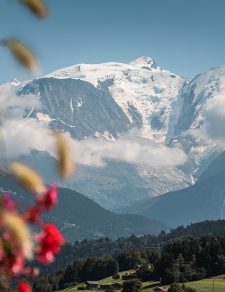
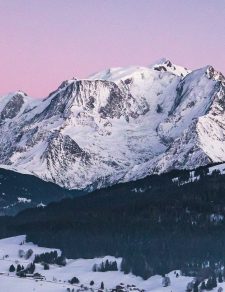
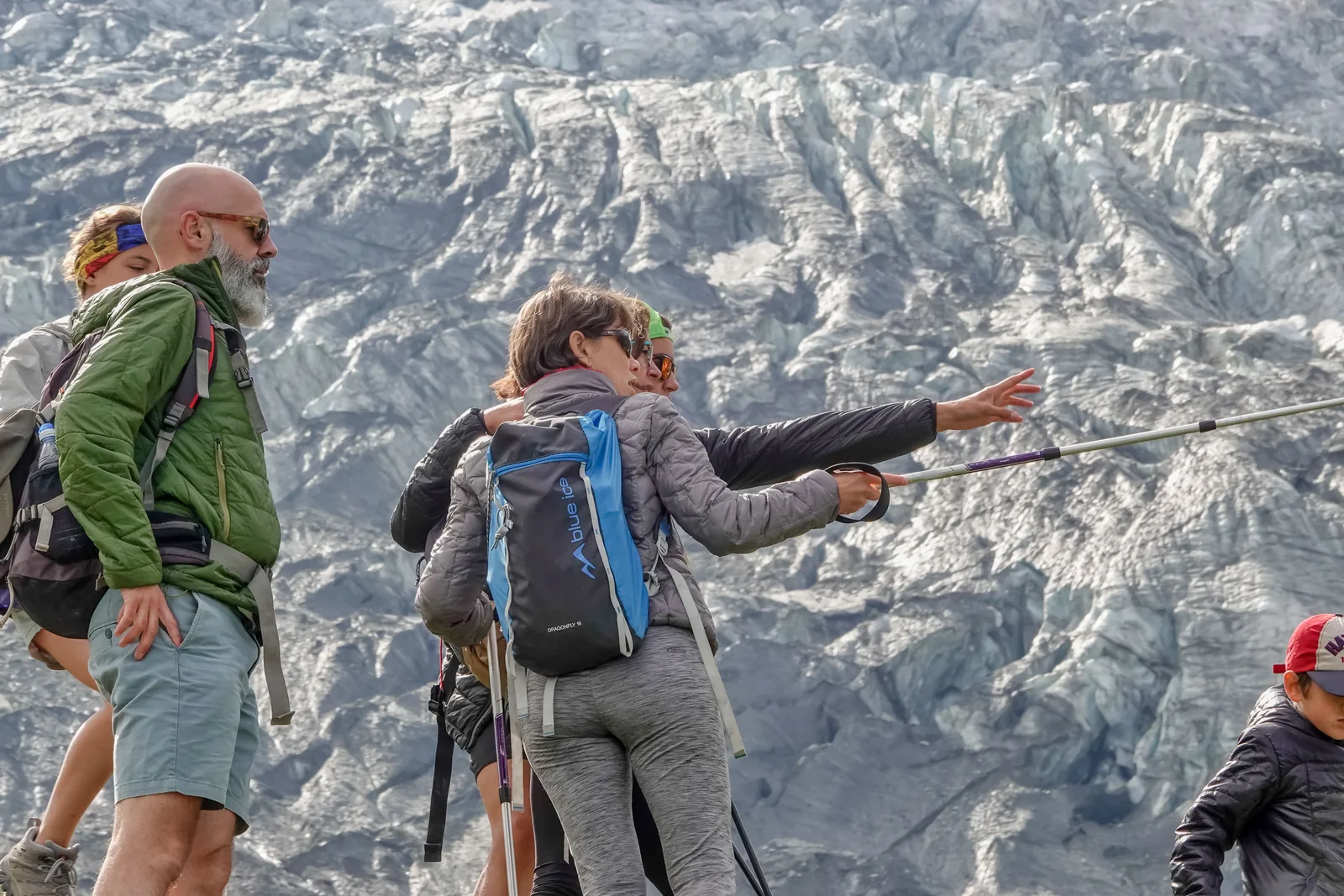
The tram descent from Mont Blanc offers superb views of the Bionnassay glacier and the Combe de Tricot.
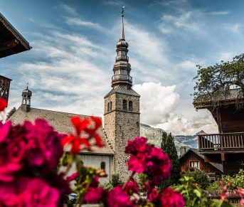
Starting point: From the Saint-Gervais Tourist Office, head to the village of Bionnassay. Direction Les Contamines, turn left at Bionnay and follow the small mountain road. YOUR ITINERARY: DEPARTURE: Le Crozat car park in Bionnassay. Above the village of Bionnassay, go down the road slightly which leads to the car park to take the 1st path on the left which leads to the Nid d'Aigle. 0h35: At the Planet, continue straight on flat on a pretty grassy path. 1h10:
Path intersection, after a good climb, leave the path on the left which indicates “Bellevue”. Go straight. 1h15:
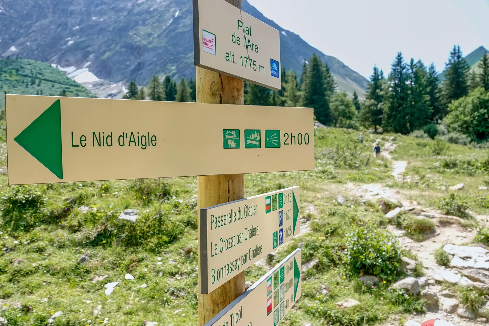
Beginning of the flat Are, you arrive in a clearing, leave the path on the right towards "The glacier footbridge" to continue straight to the end of the flat. 1h25: At the end of the flat, the slope rises. Continue on this winding path to the Nid d'Aigle.
2h15: The stairs, the steepest is done, courage! 3h15: Le Nid d'Aigle, after this beautiful climb, enjoy the landscape. You are at the gates of the high mountains, at the start of the royal route of Mont-Blanc and at the terminus of the legendary TMB.
Next to the Refuge du Nid d'Aigle, you can appreciate the path you have just climbed. The descent is done by the same route.
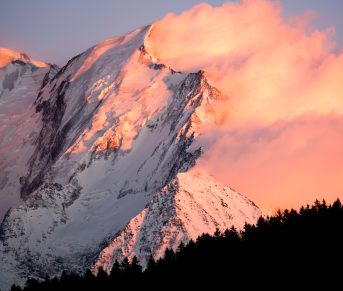
THE MOST OF THE HIKE: Impressive view below the Aiguille du Goûter.
Be vigilant in the ladder area and remember that at this altitude the cold and fog can quickly arrive.
On the descent, you can take the TMB to the Col de Voza.
The tram descent from Mont Blanc offers superb views of the Bionnassay glacier and the Combe de Tricot.
Starting point: From the Saint-Gervais Tourist Office, head to the village of Bionnassay. Direction Les Contamines, turn left at Bionnay and follow the small mountain road. YOUR ITINERARY: DEPARTURE: Le Crozat car park in Bionnassay. Above the village of Bionnassay, go down the road slightly which leads to the car park to take the 1st path on the left which leads to the Nid d'Aigle. 0h35: At the Planet, continue straight on flat on a pretty grassy path. 1h10:
Path intersection, after a good climb, leave the path on the left which indicates “Bellevue”. Go straight. 1h15:
Beginning of the flat Are, you arrive in a clearing, leave the path on the right towards "The glacier footbridge" to continue straight to the end of the flat. 1h25: At the end of the flat, the slope rises. Continue on this winding path to the Nid d'Aigle.
2h15: The stairs, the steepest is done, courage! 3h15: Le Nid d'Aigle, after this beautiful climb, enjoy the landscape. You are at the gates of the high mountains, at the start of the royal route of Mont-Blanc and at the terminus of the legendary TMB.
Next to the Refuge du Nid d'Aigle, you can appreciate the path you have just climbed. The descent is done by the same route.
THE MOST OF THE HIKE: Impressive view below the Aiguille du Goûter.
Be vigilant in the ladder area and remember that at this altitude the cold and fog can quickly arrive.